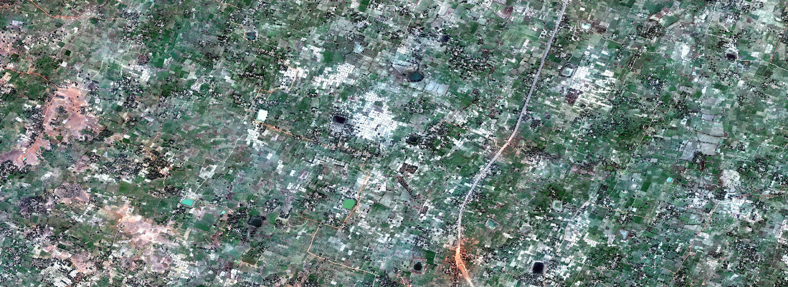
Satellite Photogrammetry
We help our customers to choose appropriate satellite imagery for their application area and convert them into decision making data sets by Photogrammetry or Remote Sensing processing
We Develop Most Accurate Dataset From Satellite Based Surveys
As the space technology is moving fast in delivering the high resolution of the satellite images, we are also moving forward to use the same for the various applications.
Matrix Geo is expertise in using high resolution stereo satellite imagery by our latest and high end software for creating various products for different industry sectors.
We are capable in handling Cartosat-1 (2.5M), IKONOS (1.0M), Geoeye-1(0.5M), Worldview-1 and 2 and Worldview-3 (0.3M) etc.
We develope high quality DTM/Mapping and Orthos using high resolution satellite images which is extremely cost effective method for developing 3D topographical datbase for large area study.
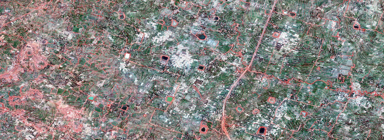
3D Topographical Map
3D Planimetric/Topographic mapping mainly represents the earth surface features in 3D using Line, Point/Symbol and Polygon/region data. With this 3D Vector data user can make different analysis and decisions based on their specific need and applications.
Matrix Geo uses industry-high end photogrammetry software like Socetset, VR Systems, INPHO coupled with technical expertise to provide high-quality production of 3D vector data. We work 24×7 in three shifts. So our technical staff is always available for our worldwide clients.
The Photogrammetry processing team members are extensively trained by our dedicated training partner IPGI to ensure each photogrammetry team member understands the national & internation mapping standards and accuracy parameters.

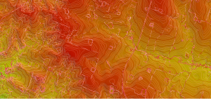
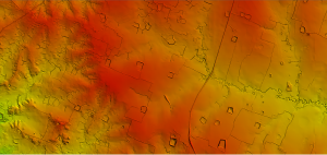
DEM / DTM / DSM
We generate high quality DTM/DEM for topographical mapping as well as for DTM for Orthophoto generation also.
Matrix Geo provide high-quality Digital Elevation Models. We place great emphasis on accurate terrain representation by collecting spot elevations and break lines thereby ensuring the highest quality deliverables.
We provide following services for elevation models
High quality DTM/DEM/DSM/DHM
Elevation data in different formats – ESRI Grid, Erdas Img, any other rater or vector format
Topographic Contours
Elevation data quality statistics
Slope analysis
Flood and Volumetric analysis

Orthophoto
Matrix-Geo has carried out several large ortho rectification projects world wide. We have industries best skill resources and the high end Software like OrthoBox from INPHO
We have expertise in following types of ortho rectification.
Conventional Ortho
True Ortho
RGB Ortho
We are capable of handling small to large numbers of images.

DEM / DTM /DSM
Digital Terrain Modeling is collection of mass points of elevations and 3D break lines at each change of terrain. DTM is a DEM in which terrain data has been enhanced with break lines, creating accuracy as it contains additional information defining terrain in areas where Lidar data alone is unable to do the job effectively.
3D Topographical Map
3D Planimetric/Topographic mapping mainly represents the earth surface features in 3D manner using Contour Line, Point/Symbol and Polygon/region data. With this 3D Vector data user can make different analysis and decisions based on their specific need and applications.
Orthophoto
Digital Orthophoto is a raster image generated by differentially rectifying aerial photographs or satellite images to compensate for distortions due to the altitude of the aircraft and the relief of the terrain. Digital Ortho photos combine the image characteristics of a photograph with geometric qualities of a map.