")


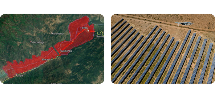
200,000+ Ha Drone-Based Survey
High-resolution aerial mapping for solar power project development in the Rajasthan desert.
Download PDF

5,500+ Acre Solar Power Survey
Drone-enabled site assessment for Adani Greens’ solar plant in Rajasthan.
Download PDF

2,635+ Acre Solar Power Survey
Precision drone mapping for Adani Greens’ renewable energy expansion in Rajasthan.
Download PDF

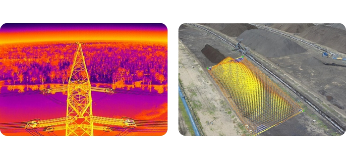
Flood Risk & Drainage Analysis
Comprehensive flood assessment for power project site planning in Tamil Nadu.
Download PDF

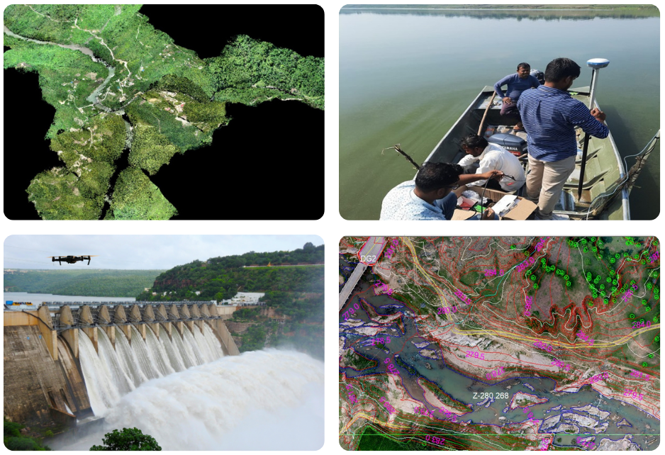
Pumped Storage Power (PSP) Project Survey – Maharashtra
Topographical drone survey for efficient site development.
Download PDF

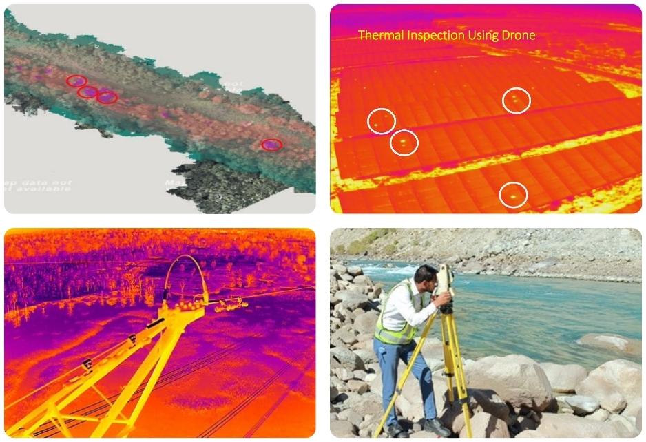
PSP Project Survey – Upper Saleru, Andhra Pradesh
Drone-based terrain analysis for WAPCOS’ pumped storage power project.
Download PDF