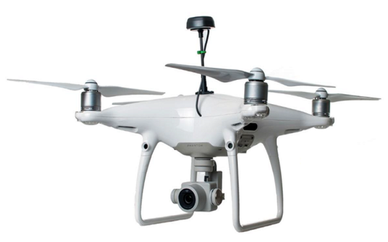
RTK / PPK Drone
Professional survey grade solution for UAV mapping and 3D modeling based on DJI MAVIC PRO, DJI PHANTOM 4 PRO, DJI MATRICE 200 or DJI MATRICE 600 PRO.
Scanfly
Drone Based LiDAR System
- Foldable Drone
- Very Light weight LiDAR sensor
- Capture 2 Cm Resolution Images from integrated Camera
- Accuracy of 2-5 CM
- Weight – <2 kg
- Endurance – 35 min
- Multi Return
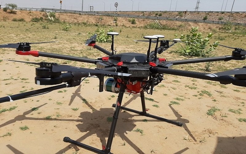
Skyhov-1
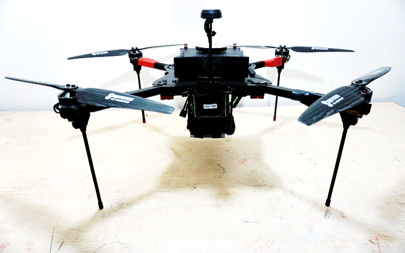
DGPS Integrated Drone
- Foldable drone that can be fixed in an overnighter
- DGPS (RTK/PPK) Integrated Drone
- Captures 1-2 cm resolution image from calibrated camera
- Images with accuracy of 2-5 cm
- Weight: <3 Kg
- Payload: 800 gms
Skynetra PPK Upgrade Kit
Converts DJI Drones to reliable Survey Grade Drone
- Accuracy of 2-5 cm RMSE
- Lower Down your project cost by reducing GCPs
- Fast Geotagging of correct coordinates
- Built in GPS, Glonass, BeiDou, Galileo, SBAS
- Cab be installed on any DJI drone
- Camera calibration for geomatic applications