LIDAR Survey
(LIDAR) or Light Detection and Ranging technology involves a scanning and ranging laser system that produces pinpoint accurate, high-resolution topographic maps. Today, the entire process of airborne laser mapping is highly automated, from flight planning, to data acquisition and the generation of digital terrain models.
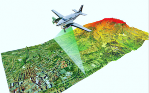
Aerial LiDAR
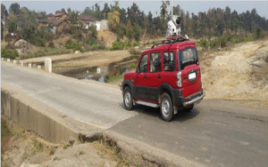
Mobile LiDAR
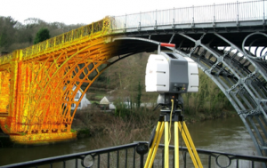
Terrestial LiDAR
Aerial LiDAR
")

Mobile LiDAR


Terrestial LiDAR