GIS & Remote Sensing Services
Matrix-Geo specializes in the conversion of legacy and hard-copy GIS information into digital formats and data-driven Web-based services and applications. Matrix Geo’s processes, infrastructure, and technical expertise assure quick turnaround and accurate results.
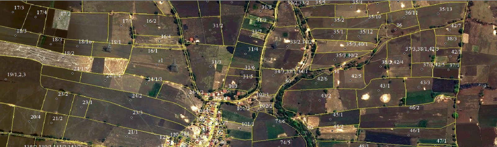
GIS Services
- Scanning hard-copy assets
- Capturing geographical data from photographs
- Feature annotation and labeling
- Building Foot Print Extraction
- Geo-referencing
- Project Cadastral / Parcel Mapping
- Large scale Data Entry / conversion
- Utility AM/FM mapping
- Paper to cad Drafting / conversion
- Topographical mapping


- Cadastral and Parcel mapping
- Thematic mapping
- Multisource data capture conversion and integration
- Geospatial data updating
- Geographic database creation and updating
- Municipal management (cadastre, tax maps, etc
- Cartographic mapping
- Data analysis and report generation
- Custom application development
- GIS Consulting and Implementation
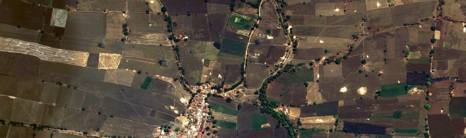
REMOTE SENSING SERVICES
Matrix-Geo provides following services for Remote Services
- Satellite image processing
- Land use Land cover Mapping
- Change detection
- Geo referencing
- Stereo Satellite data processing

