")


")
Maha Kumbh Event Planning (2025)
Drone-based pre & post-monsoon surveys conducted for Maha Kumbh planning with UP Govt collaboration.
Download

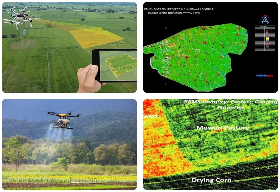
Micro Irrigation Scheme in Tripura
Drone surveys conducted for DPR of 98 micro irrigation schemes in Tripura to boost water use and farming.
Download

Pressurized Pipe Micro Irrigation
Planned 134,700-hectare pressurized pipe irrigation in MP to enhance water distribution and agricultural efficiency.
Download

Ken-Betwa Link Project Planning
Drone LiDAR & ecosounding used for Ken-Betwa water project planning.
Download

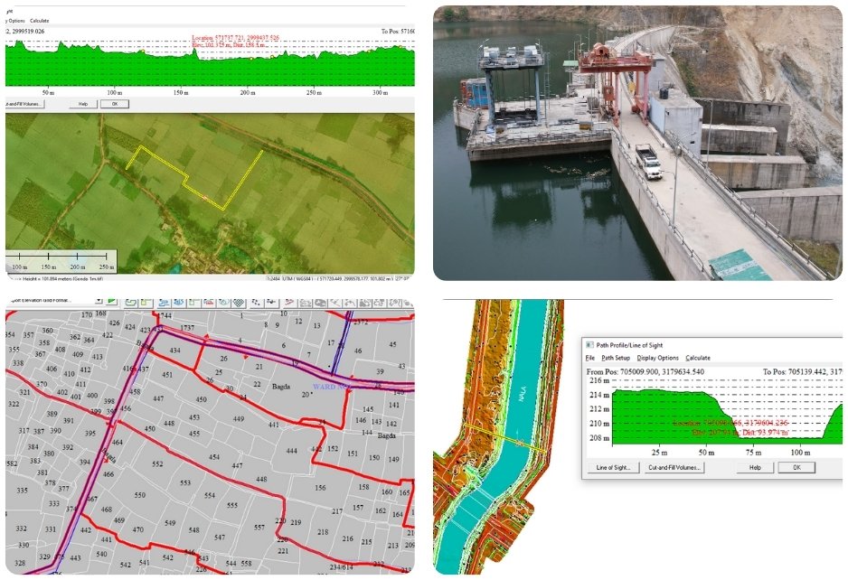
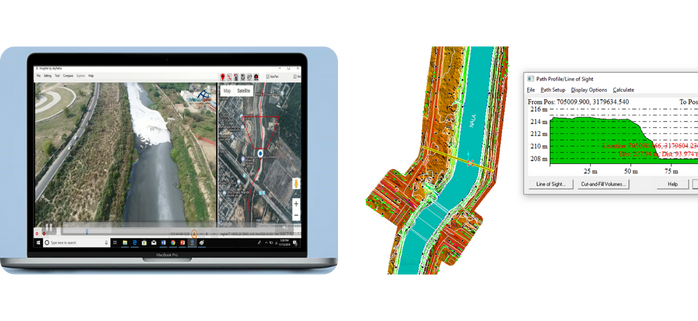
Dam Site Topographical Survey
Drone topographic surveys for 25+ dam sites (800 sq km) in Jharkhand for CWC planning.
Download
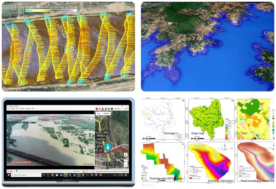
Brahmaputra River Monitoring
River monitoring studies done under RITES using remote sensing, drone photogrammetry & ecosounding.
Download
Cauvery Project Hydrographic Studies
Led drone LiDAR & ecosounding surveys for Nadanthaai Vaazhi Cauvery Project under Clean Cauvery Mission.
Download
Uttarandhra Sujala Sravanthi Project
Executed drone topographic surveys for Godavari lift irrigation in Andhra Pradesh to boost water supply.
Learn more
Maithon Reservoir Site Management
Satellite surveys of Maithon Reservoir done for submergence analysis and encroachment control.
Download
Yamuna River Flood Monitoring
Drone-based flood monitoring of Yamuna & 100+ km drains in Delhi during monsoon for management.
Download
Irrigation & Flood Control Survey
Drone photogrammetry & ecosounding surveys done in Delhi to improve stormwater and flood control.
Download