High-Precision Aerial Data Collection for Large-Scale Projects
AERIAL SURVEY
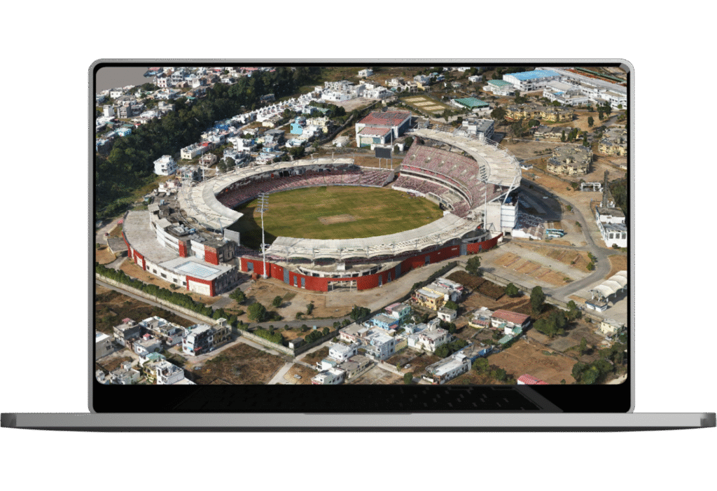
Specializes in high-accuracy photogrammetric mapping with aerial imagery from aircraft and helicopters, delivering precise datasets for diverse geospatial applications.Service Video
High-Precision Aerial Data Collection for Large-Scale Projects
Provides aerial photography at all scales using advanced sensors like Ultracam-X, DMC, and LiDAR via specialized aircraft. Expert data processing ensures accurate, high-quality photogrammetry and detailed geospatial insights.
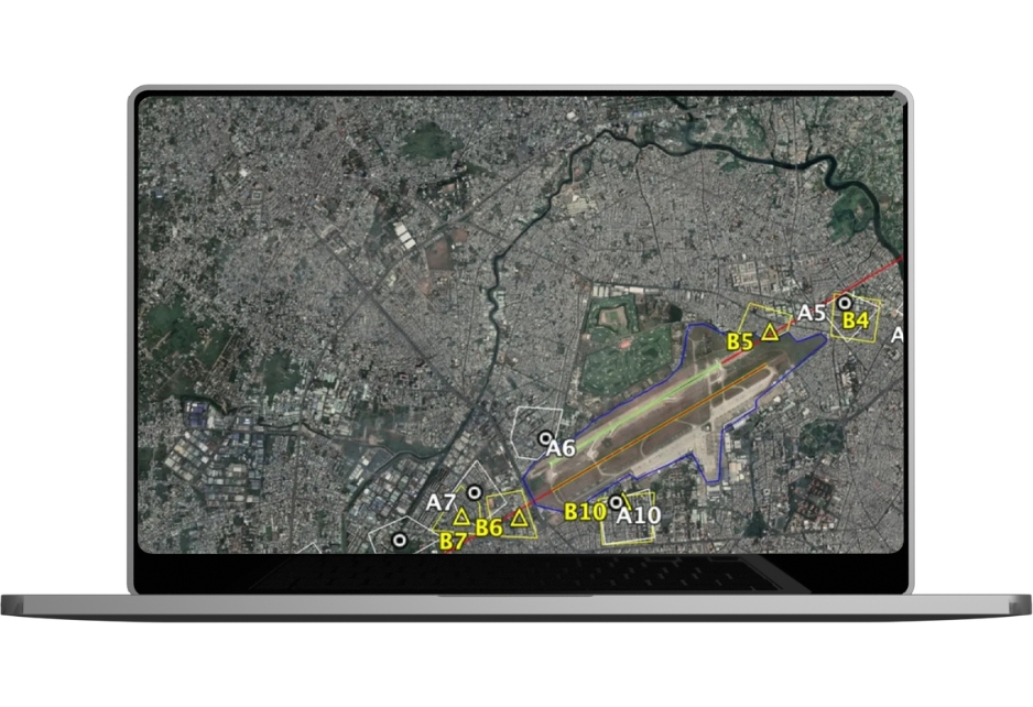
Stereo Photogrammetry Processing
We create 3D Planimetric/Topographic maps representing land features with line, point, and polygon data for in-depth geospatial analysis. Using industry-leading photogrammetry processing software, we deliver high-quality 3D vector data. Our 24/7 operational workflow and real-time project progress tracking for the clients worldwide.
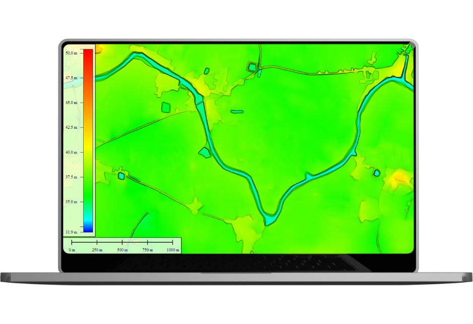
DTM/DEM Extraction
Our Digital Terrain Models (DTM) & Digital Elevation Models (DEM) are generated with precision to support topographical mapping, orthophoto generation, and terrain analysis. We provide:
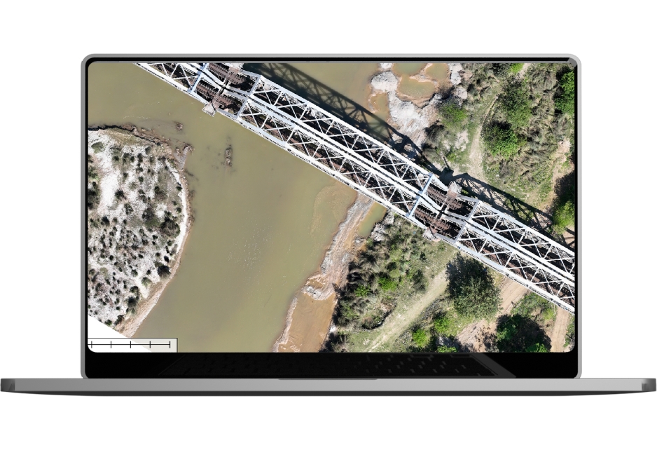
We create high-resolution digital orthoimages by rectifying aerial and satellite photographs, ensuring geometric accuracy for mapping applications. Our expertise includes:
With expertise in handling over 1,000+ global projects, Matrix Geo ensures the highest accuracy and efficiency in aerial data processing, catering to industries such as urban planning, infrastructure, real estate, and environmental management.
SECTOR WE SERVE
Where we use this Technology
Infrastructure planning to surveillance and safety, our technology enhances efficiency, supports smart decisions, and drives innovation across the rail network.
Oritech – IT Solutions & Services WordPress Theme is a modern theme, designed for companies providing IT services and technology solutions. With a professional interface, powerful features, WooCommerce integration, and SEO optimization, Oritech helps businesses build impressive and easily customizable websites.


")