

")


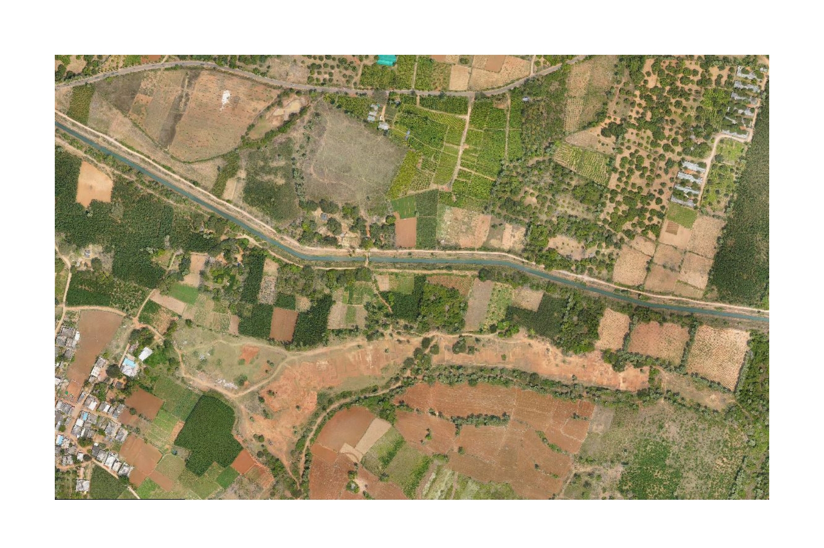
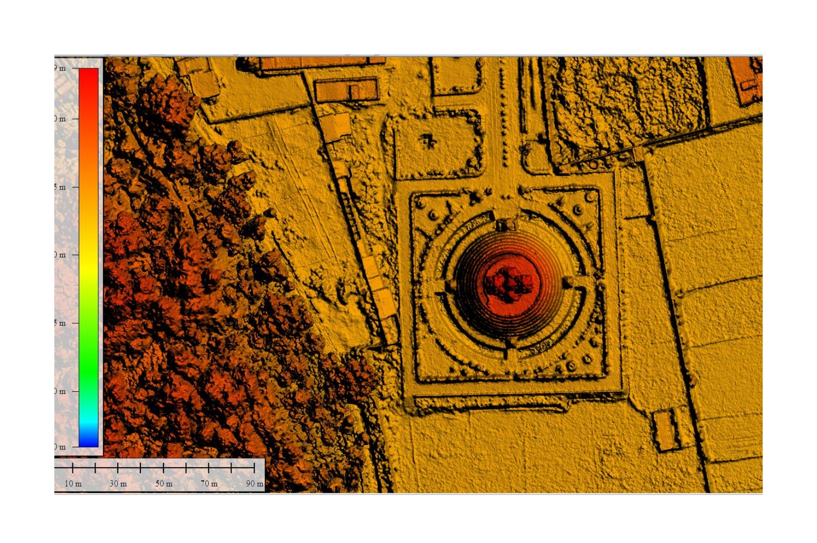
Drone Based Aerial LiDAR Survey
Extract insights from satellite data via spectral analysis for land cover, crops & disaster impact.
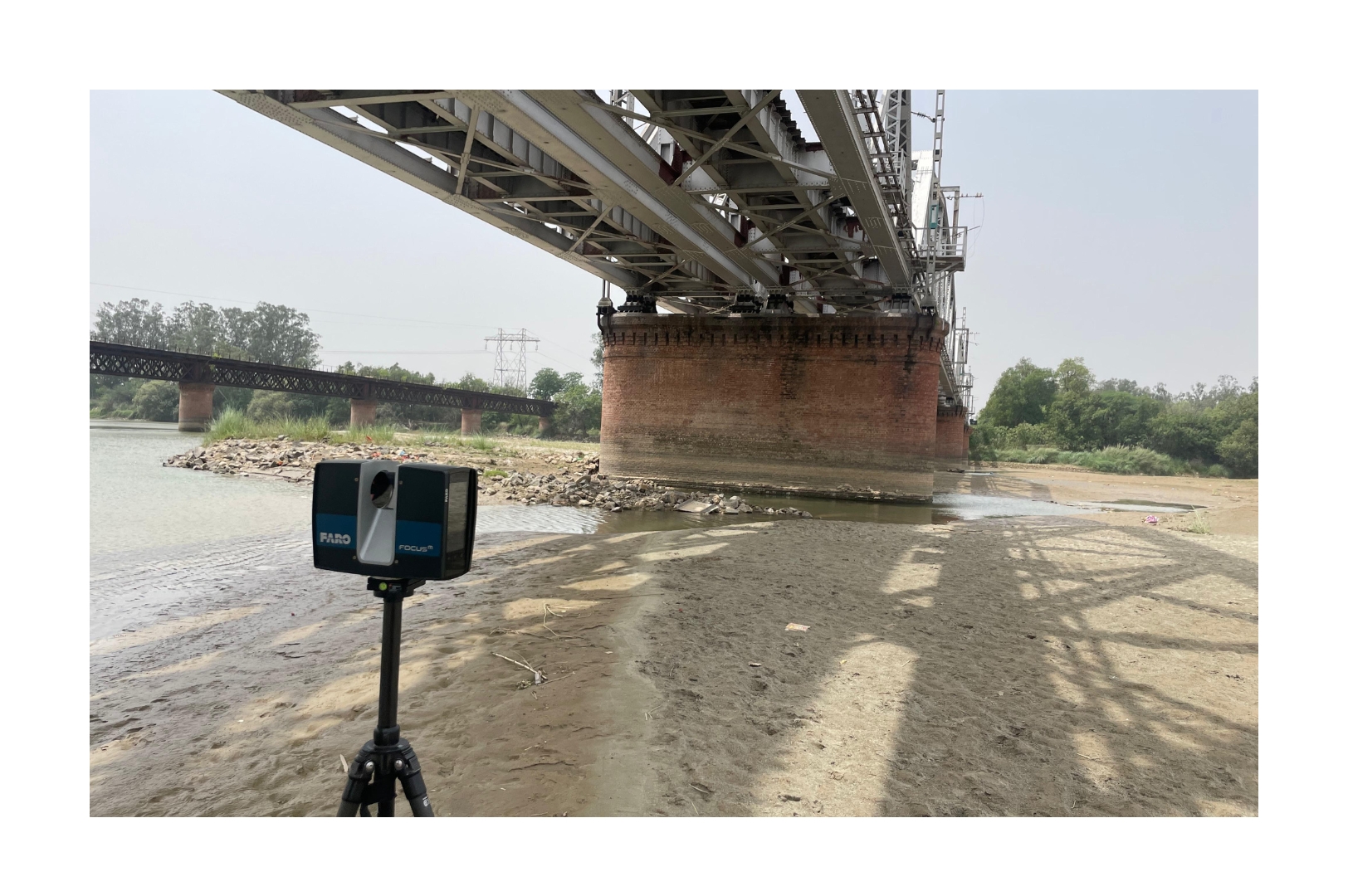
Terrestrial LiDAR Survey
Ground LiDAR delivers mm-accurate 3D models for inspection, design, tunnels & heritage mapping.
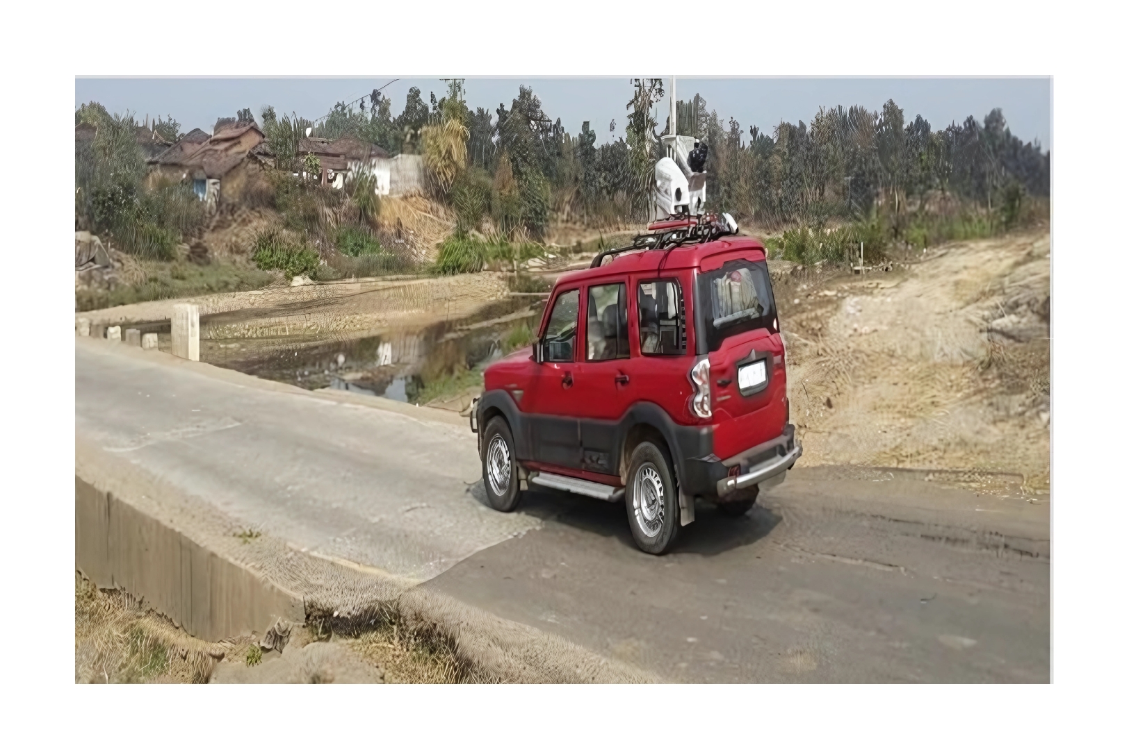
Mobile LiDAR Survey
Mobile LiDAR maps roads, rails & cities in detail for widening, asset management & smart planning.
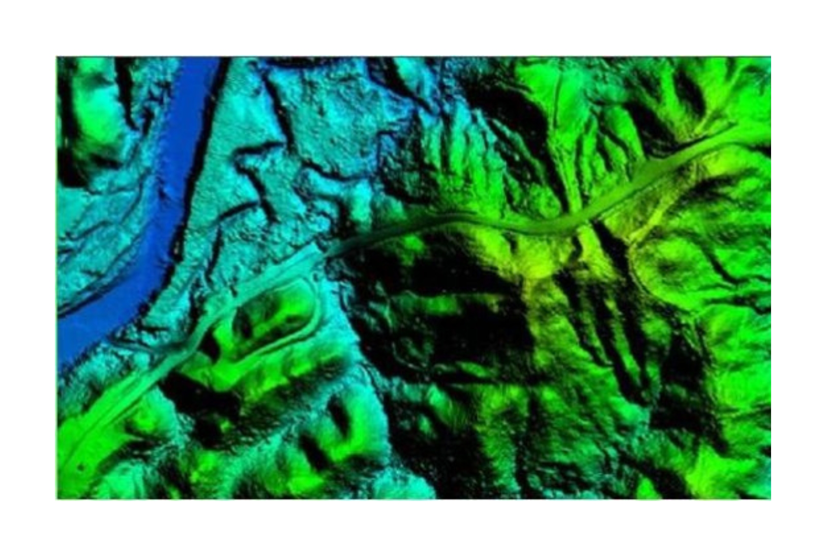
Digital Terrain Models (DTM) & Digital Surface Models (DSM)
LiDAR-based DTM & DSM enable accurate elevation, volume, and slope analysis for critical projects.
Powerline & Utility Corridor Mapping
LiDAR maps power corridors, detecting encroachments, vegetation risks & structural issues.
Forest & Environmental LiDAR Mapping
LiDAR enables canopy height, biomass & habitat analysis for forestry, carbon & wildlife studies.