Roads and Highways
Comprehensive Package for Topographical survey ,Monitoring & Inspection (Remote Sensing-Lidar,Drone ,Satellite and GIS )for Roads built under EPC(Engineering, Procurement, Construction),BoT (Buid Operate Transfer),HAM(Hybrid Annuity Model) and Roads under PMGSY (Pradhan Mantri Gram Sadak Yojna).
Technology
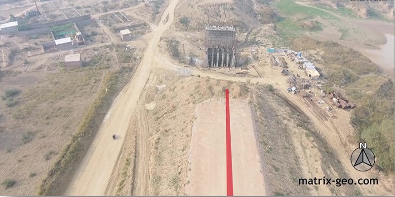
Drone Based LiDAR Survey for Greenfield / ByPass Alignments

Satellite Imagery Based Survey for large and inaccessible areas.
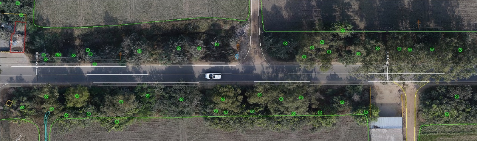
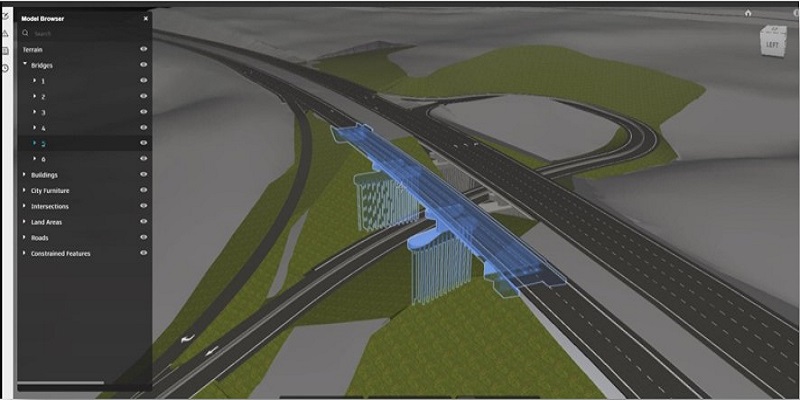
DGPS Integrated Drone based Engineering Grade Photogrammetry Survey
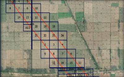
Khasra(Cadastral map) digitization for Land Acquisition in Road DPRs.
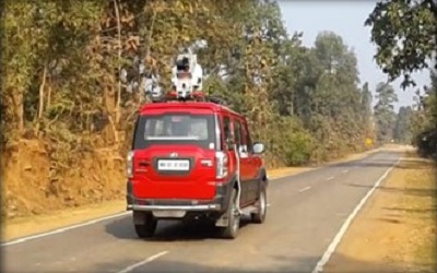
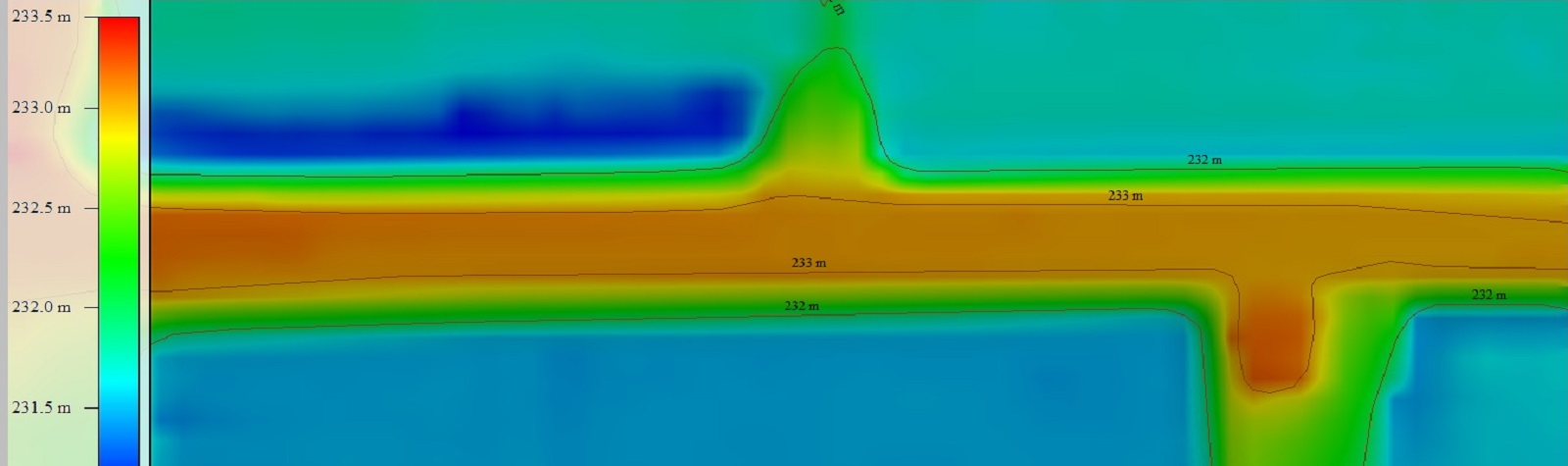
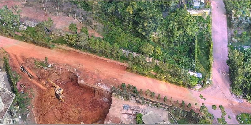
CAR Mounted LiDAR System for Road Widening Projects
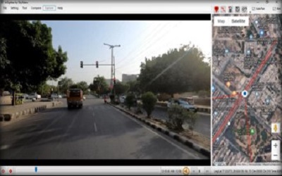
Reconnaissance Survey with Insighter(Geospatial Video based mapping Solution
Services
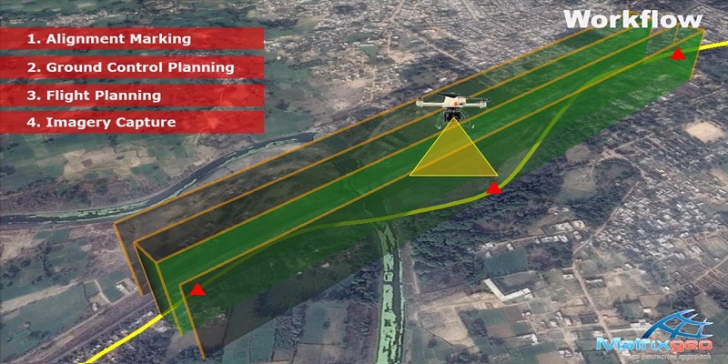
Planning Stage
- Reconnaissance Survey
- Feasibility Survey
- Final Location Survey (FLS)
- Pre Bid Survey
- Structural Inventory Survey
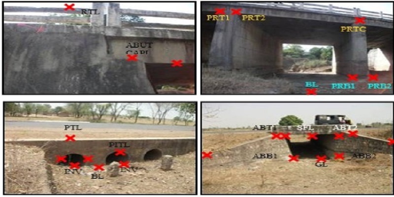
Structural Inventory Survey
- Structure inventory
- Structure type
- Levels of various part of structures
- Water bed information
- Road crossings
- Habitation names
Project Highlights
Satellite Based Survey
2500 + KM Road survey projects executed using very high resolutions satellite survey technology even in complex geographical areas (Himalayan range, International Border areas).
Drone Based Survey
1000 + KM Road & highways survey projects executed using drone based aerial survey technology in road widening & green field road projects.
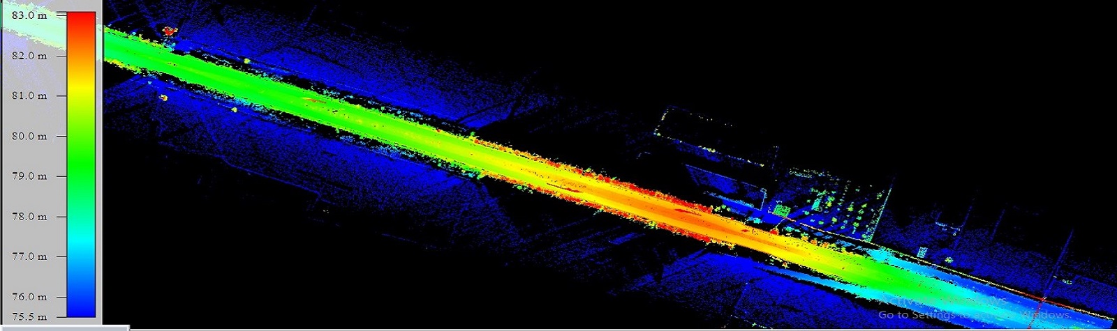
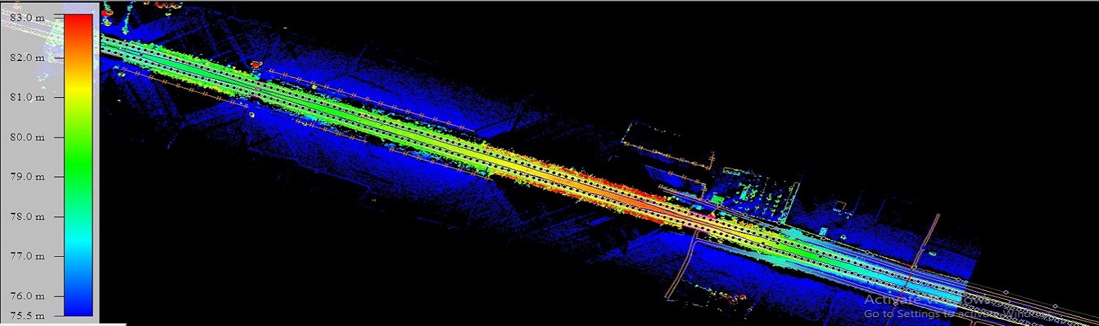
LiDAR Based Survey
2100 + KM Road & highways projects executed using LiDAR technology in road widening & road condition DPR projects