Others
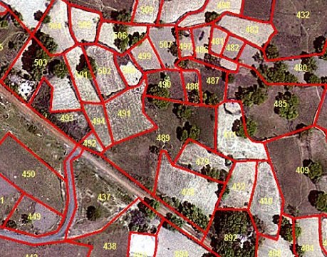
Land Management
Matrix Geo helps to mark and provide all the land information of the area in a digital format. We facilitate the user to recognize the changes that occurred on the land. In order to perform planning on GIS platform user is also facilitated with GIS tools.
We provide following services for Land Management:
- Land Use land Cover map
- Land Base map
- Assets Management map
- Land Geospatial data
- Land Capability map
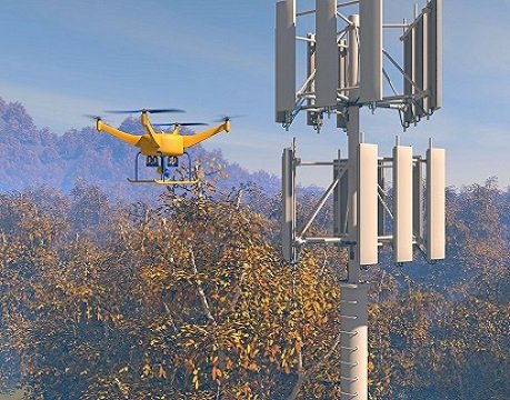
Telecom
Matrix-Geo has experience in creation of telecom data for telecom network planning using satellite images at various resolutions ranging from 0.5 m to 30m.
The following are the major services which we provide for telecom sector:
- 3D building
- Clutter Data
- Digital Terrain Model (DTM)
- Digital City Model (For Urban Packages)
- Linear Vector Dataset
Additional datasets or layers can be provided on request. Packages designed for general planning in order to provide information for large areas such as group of countries or individual countries are also available. Regional packages are intended for more accurate planning within smaller areas, such as provinces or large metropolitan and suburban areas. Urban packages provide reliable information for urban metropolitan areas. Please contact us for details on these products.
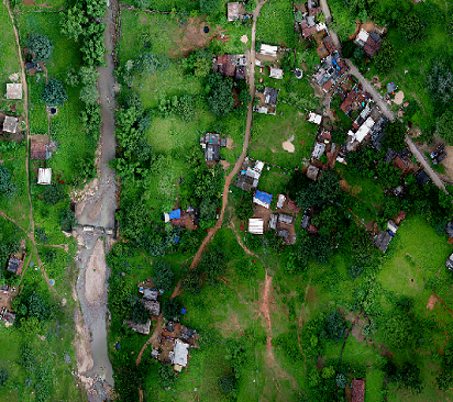
Natural Resources
Matrix geo provides vast expanse of natural resources maps available inside the surface of earth. Abundance of natural resources occurs naturally and is hidden in the surface of earth.
- Mapping of Forest Cover
- Mapping of Surface Water
- Soil Mapping
- Litho logical Mapping
- Livelihood Development Studies
- Mapping of existing Natural Resources
- Mapping of physical infrastructure
- Collection of data on socio-economic condition
- GIS analysis
- Reporting
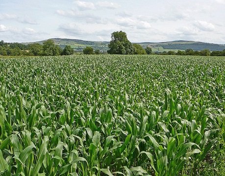
Environment
Modern Geospatial Technologies are used to provide information for water and environmental applications.We can help in monitoring landscape changes due to various factors such urban expansion, climate change, population growth, desertification. We assure timely satellite imagery acquisition and analysis, which helps minimize the environmental cost of human activities. Big projects covering large areas can rely on satellite image based analysis to boost their efficiency and lessen their carbon footprint. The solutions provided are:
- Flood Analysis (Safe Grade Elevation Study)
- Drainage Pattern Analysis
- Wetland Management
- Catchment area Treatment
- Irrigation Planning
- Water channel network
- Change Detection Analysis
- Ground Water estimation
- Habitat Assessment/Evaluation for wildlife
- Forest Mapping and Management
- Environment Mapping for clearance
- Solid waste Management
- Sewage Treatment Plant
- Reuse of treated wastewater
I am text block. Click edit button to change this text. Lorem ipsum dolor sit amet, consectetur adipiscing elit. Ut elit tellus, luctus nec ullamcorper mattis, pulvinar dapibus leo.