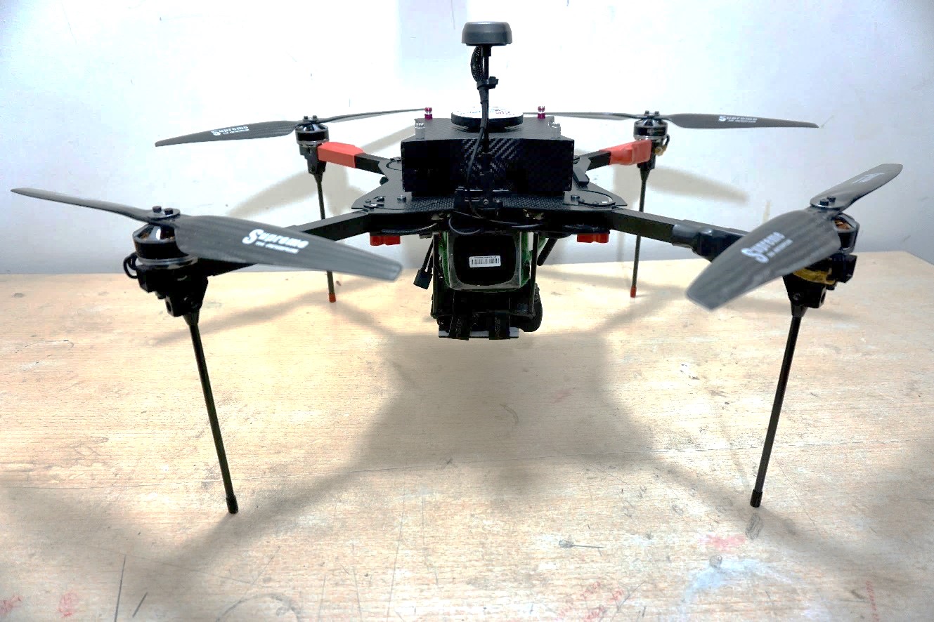
Low Altitude Drone Photogrammetry
The Low Altitude Aerial Monitoring / Mapping Systems (LAAMS) which use DRONE / UAS (Unmanned Aerial system) with high quality camera to capture geo-referenced aerial images & videos and later process them using the Photogrammetry technology for measurement and create accurate topographical information’s relevant for planning and monitoring quickly, safely & cost effectively.
Low Altitude Aerial Photography
Matrix-Geo provides Aerial photography services of all scales using specially customized DGPS & CALIBRATED CAMERA INTEGRATED DRONES for Survey Grade Accuracy
From our 20 years+ Photogrammetry experience, we are able to capture the imagery in most accurate way to produce authentic & reliable large scale maps for our clients
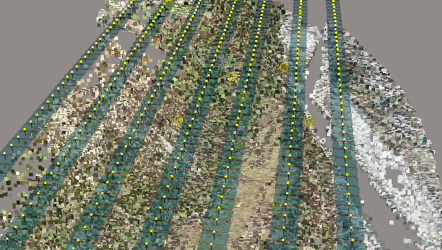
Digital Aero Triangulation
Aerial Triangulation is the process of densifying and extending ground control through computational means. In simple language the collective orientation of more than two photos is called Aerial Triangulation. It is also a process to establish the relationship between Aerial Imagery and the project World precisely
Our industry’s best skilled resources those are well educated, trained and experienced perform triangulation in most accurate manner with the latest AT technologies.
We have expertise in handling complicated situations:
- Coastal Areas with cross line photography
- Water covered areas, like Small Island
- Dense forested areas
- Contrast free areas like sand dunes etc.
- Bad photography with bad geometry and radiometry deficiency
- Bad photography with lots of crab angle (Kappa value)
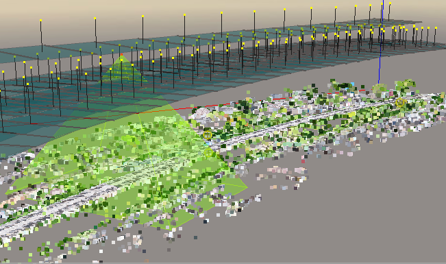
3D Planimetric/Topographic Mapping
3D Planimetric/Topographic mapping mainly represents the earth surface features in 3D manner using Line, Point/Symbol and Polygon/region data. With this 3D Vector data user can make different analysis and decisions based on their specific need and applications.
At Matrix Geo uses industry-high end software coupled with technical expertise to provide high-quality production of 3D vector data. All the topographical features including man-made & natural featured are collected in extensive layers in CAD & the output is prepared in various formats as per client working environment.
Matrix Geo has experience of executing more than 1500 large to small mapping projects for various industry sectors and applications. Our clients are from different continent of the world and agencies.
We generally provide Drone based mapping solutions to the following sectors :
APPLICATIONS:
- Urban/City Area
- Civil Survey Planning & Design
- Roadway Design
- Topographic Surveys
- Irrigation Project
- Mine Mapping and Management


DTM -DEM - DSM Extraction
We Produce Most Accurate Elevation Data set from Drones by Our UNIQUE WORKFLOW which are suitable for Engineering grade application.
Digital Terrain Model – True Digital Representation of 3D Terrain Surface for engineering Analysis. (DTM) is made up of elevation points and abrupt change marked by 3D breaklines representing exact elevations of Surface.
We provide following services for elevation models
- High quality DTM/DEM/DSM/DHM
- Elevation data in different formats – ESRI Grid, Erdas Img, any other rater or vector format
- Topographic Contours
- Elevation data quality statistics
- Slope analysis
- Flood and Volumetric analysis

Digital Ortho Photography
We Produce Most Accurate & Aesthetically Corrected Orthophotos
Orthophoto is an aerial photograph that has been geometrically corrected by a photogrammetric process called “Ortho-Rectification” and provides following advantages:
- Very High Resolution visualization of Project Site
- An Orthophoto can be used in GIS / CAD / Engineering design software to measure true or real life distances, area & angle of features within the photograph and
- Collection of various information such as railway track, road structures, assets, Land etc. in vector format, because it is an accurate representation of the Earth’s surface.
We have expertise in following types of ortho rectification.
- Conventional Ortho
- True Ortho
- CIR Ortho
- RGB Ortho
