Satellite
- Home 01
- Satellite
SATELLITE SURVEY
Why Choose Satellite-Based Solutions?
High-Res Satellite Imagery
Affordable & Scalable
Precise 3D Mapping
Spectral Analysis
Seamless Integration
Our Satellite Data Processing Capabilities
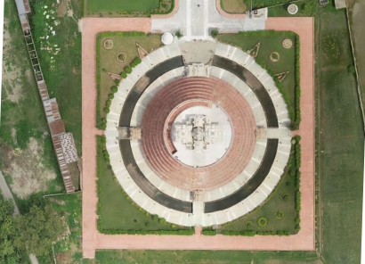
3D Topographical Mapping
High-precision 3D vector maps support planning, flood analysis & land-use management.
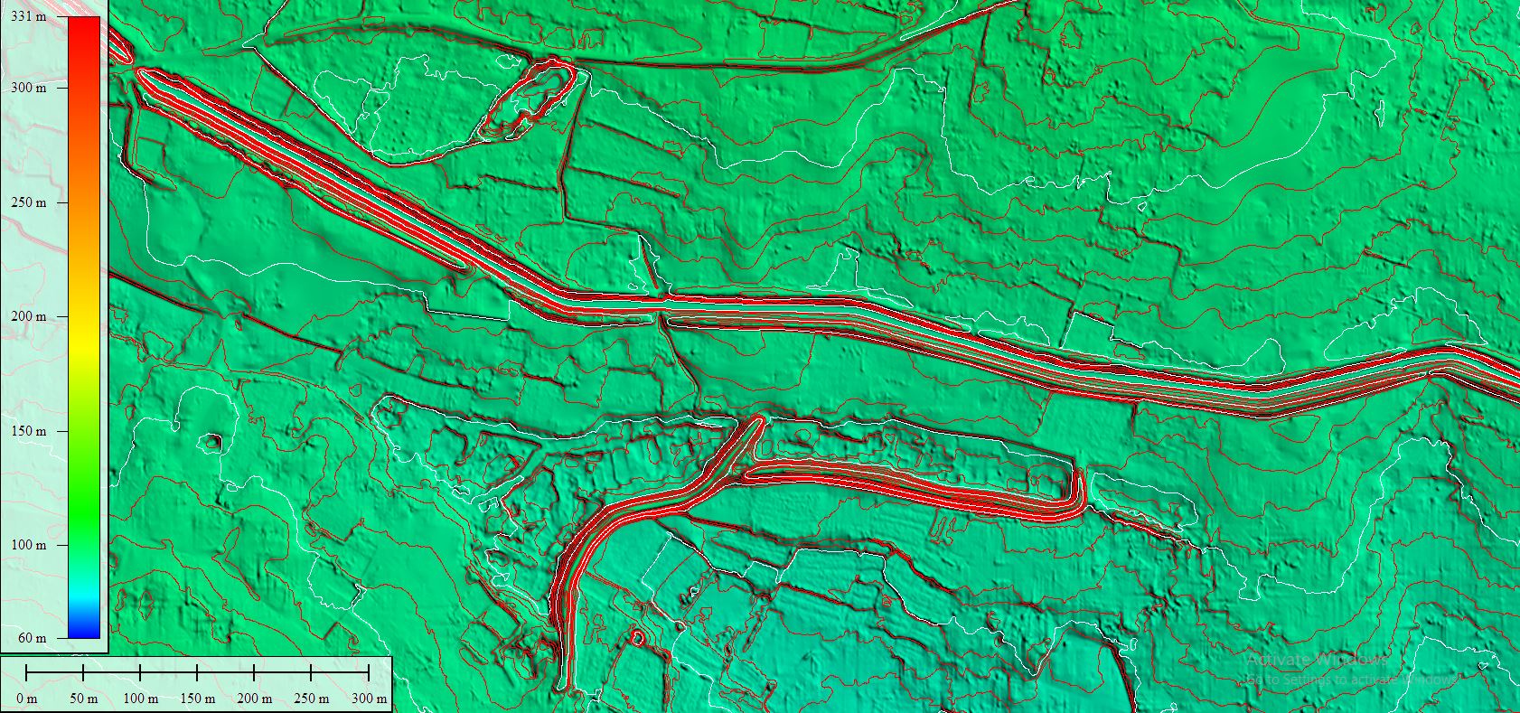
Digital Elevation Models (DEM/DTM/DSM)
DEMs, DTMs & DSMs support slope, watershed & terrain analysis for mapping & disaster planning.
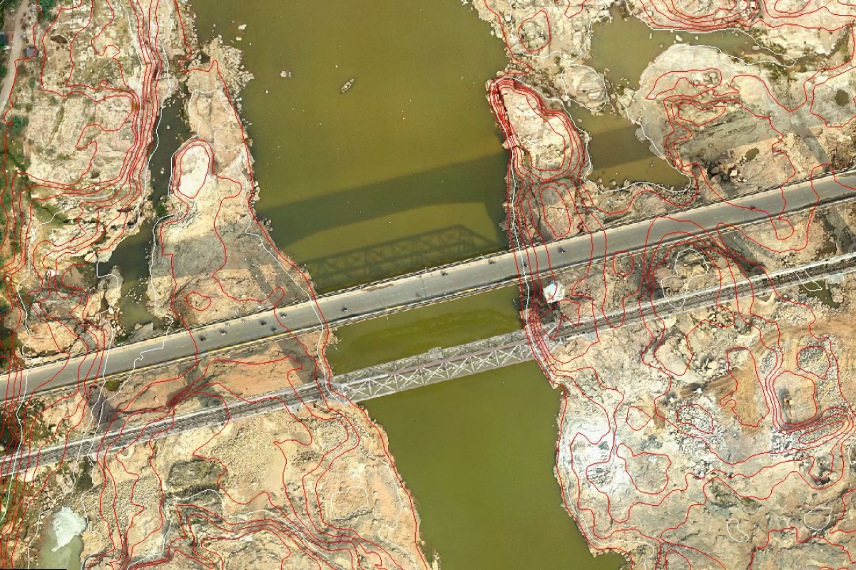
Orthophoto Generation
We deliver distortion-free orthophotos, Conventional, True, and RGB, for precise mapping needs.
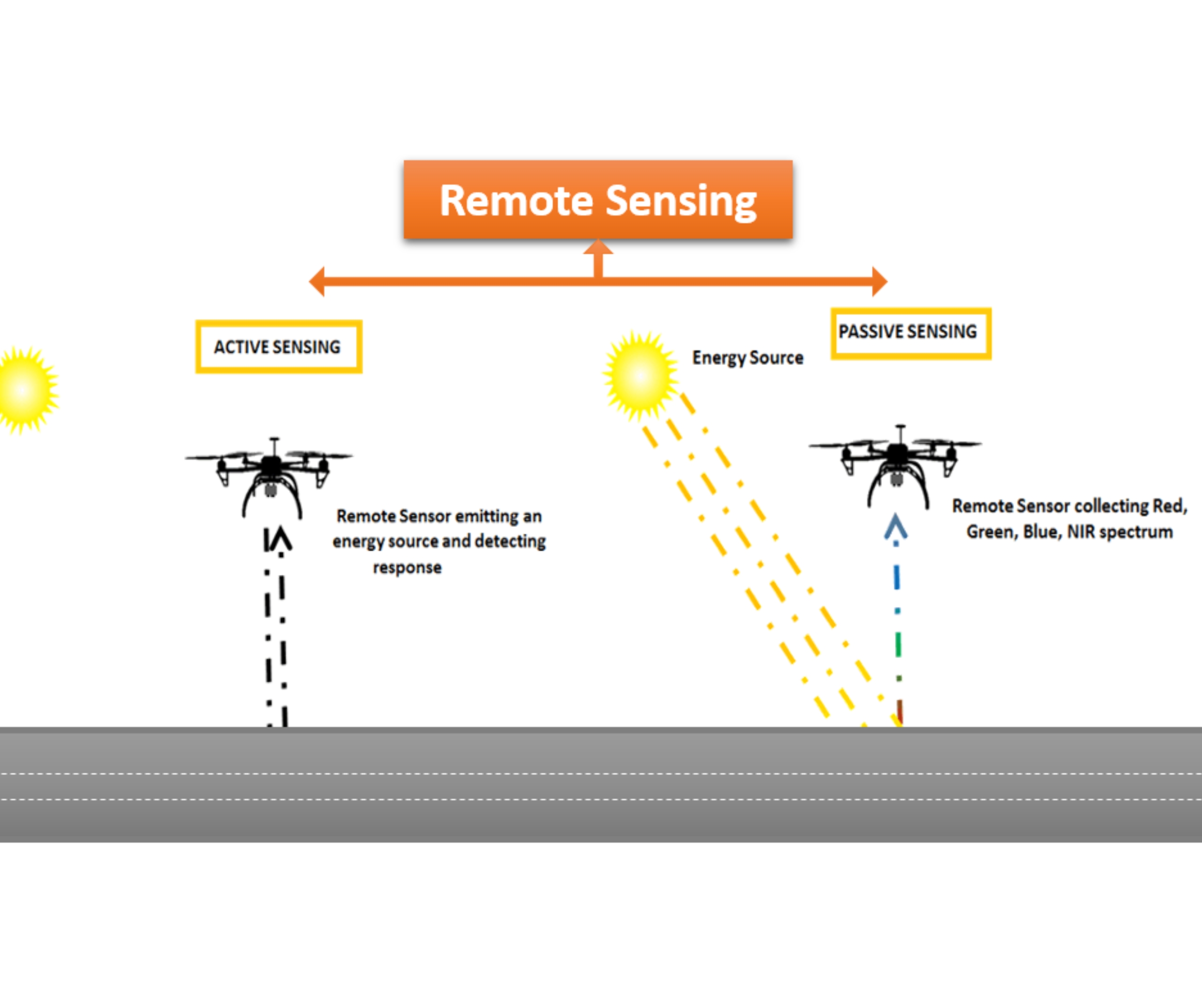
Remote Sensing Analysis
Extract insights from satellite data via spectral analysis for land cover, crops & disaster impact.
Industry-Leading Software & Expertise
ChatGPT said:
Matrix Geo uses advanced geospatial tech and photogrammetry software like SocetSet and VR Systems, with a rigorously trained team ensuring national and international mapping standards, delivering precision and preventing failures early.
Where we use this Technology
Infrastructure planning to surveillance and safety, our technology enhances efficiency, supports smart decisions, and drives innovation across the rail network.
Let us help you get your project started.
Oritech – IT Solutions & Services WordPress Theme is a modern theme, designed for companies providing IT services and technology solutions. With a professional interface, powerful features, WooCommerce integration, and SEO optimization, Oritech helps businesses build impressive and easily customizable websites.
Contact:

