


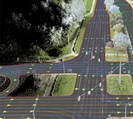
Bharatmala Project Planning
Drone-based photogrammetry surveys for new roads, bypasses, and widening projects with NHAI.
Download PDF

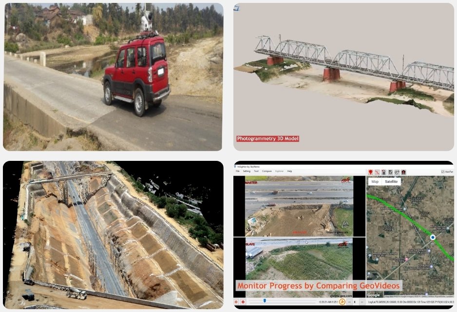
Char Dham Road Project
Drone-powered real-time progress monitoring for efficient execution.
Download PDF

Statewide Road Network Mapping
GIS-based analysis of Bihar’s traffic, accident patterns, and connectivity challenges.
Download PDF
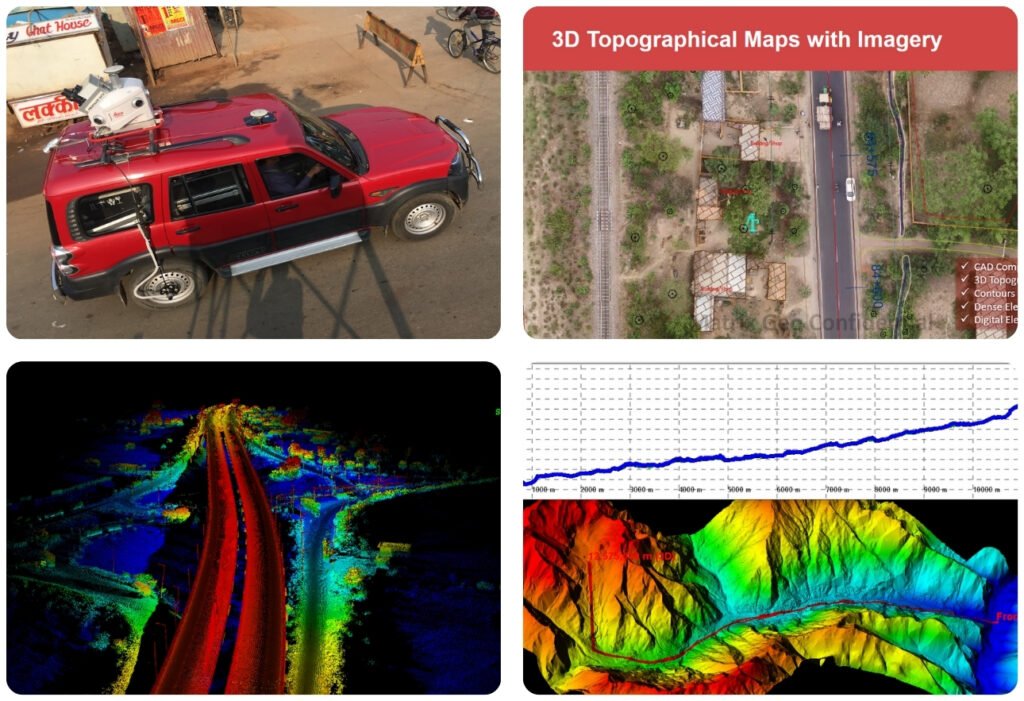
Expressway LiDAR Survey
Car-mounted LiDAR mapping for faster implementation in Gorakhpur.
Download PDF
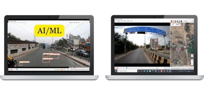
AI-Based Road Condition Monitoring
Machine learning-driven road assessment for improved infrastructure in Delhi.
Download PDF