Mining, Oil & Gas

Matrix
MATRIX GEO SOLUTIONS LIMITED
Advanced Solutions for green field to brown field mine
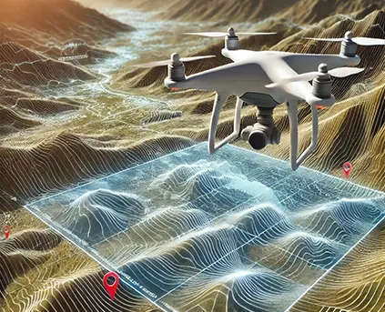
Matrix Geo empowers the mining, oil & gas sector with cutting-edge geospatial and digital solutions. From exploration planning to environmental monitoring and operational safety, our technology enhances accuracy, supports data-driven decisions, and drives innovation across energy and resource landscapes.
Technology
Integrating advanced technology across sectors to deliver precision, efficiency, and real-time insights.
Mine Visualization & Planning

Mine Insighter – Base Line for Digital Mine


Stockpile & Volume Management
Innovative Solutions in the Oil & Gas Industry
By integrating satellite imagery, LiDAR, drones, and AI-powered analytics, Matrix Geo provides next-generation solutions to enhance operational efficiency, safety, and sustainability in the oil and gas sector.
Pipeline

EXPLORE OUR PROJECT
Project Highlights
Drone-Based Aerial Patrolling
Pipeline inspection for GAIL to ensure safety and compliance.
Download PDF

Mining Activity Monitoring
Drone mapping for active mines under India’s Mineral Conservation and Development Rule (MCDR).
Download PDF

Drone LiDAR Survey for Adani
Drone based LIDAR survey for Gondkhairi Coal Block Maharashtra
Download PDF

Plant Construction Monitoring
Drone-based site survey for planning and project tracking for Bharat Dalmia Group.
Download PDF

Landfill Site Management
Mapping and assessment of 250 landfill sites in the USA with Cooper Aerial Survey.
Download PDF

Satellite Based Survey
Effective mine management using Aerial Survey technology for Birla Nifty mine in Australia
Download PDF

atellite for Mining Exploration
Hyperspectral Satellite Study for mineral exploration study in Uganda
Download PDF

Have a project in mind?
Let’s talk to us


