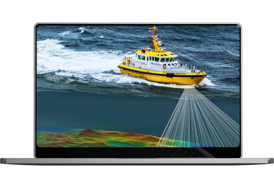
High-precision eco-sounding with single/multi-beam sonar for hydropower, riverbeds, and asset management, delivering L-sections, cross-sections, and DEMs.Service Video
Eco-Sounding Survey with Matrix Geo?
01
High-Resolution Bathymetry
Accurate depth and terrain insights for hydrological analysis
02
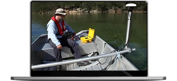
Non-Intrusive & Efficient
Map water bodies without harming ecosystems
03
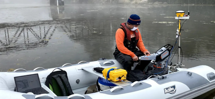
Multi-Sensor Integration
Merge LiDAR, GPS & satellite data for complete hydrographic analysis
04
Hydropower Applications
Support dam safety, dredging & flood risk analysis.
Infrastructure planning to surveillance and safety, our technology enhances efficiency, supports smart decisions, and drives innovation across the rail network.
Oritech – IT Solutions & Services WordPress Theme is a modern theme, designed for companies providing IT services and technology solutions. With a professional interface, powerful features, WooCommerce integration, and SEO optimization, Oritech helps businesses build impressive and easily customizable websites.


 (1200 x 800 px) (5)")