Insighter to Intelligence Without Investment
Drone-as-a-Service (DaaS) for Monitoring & Surveillance
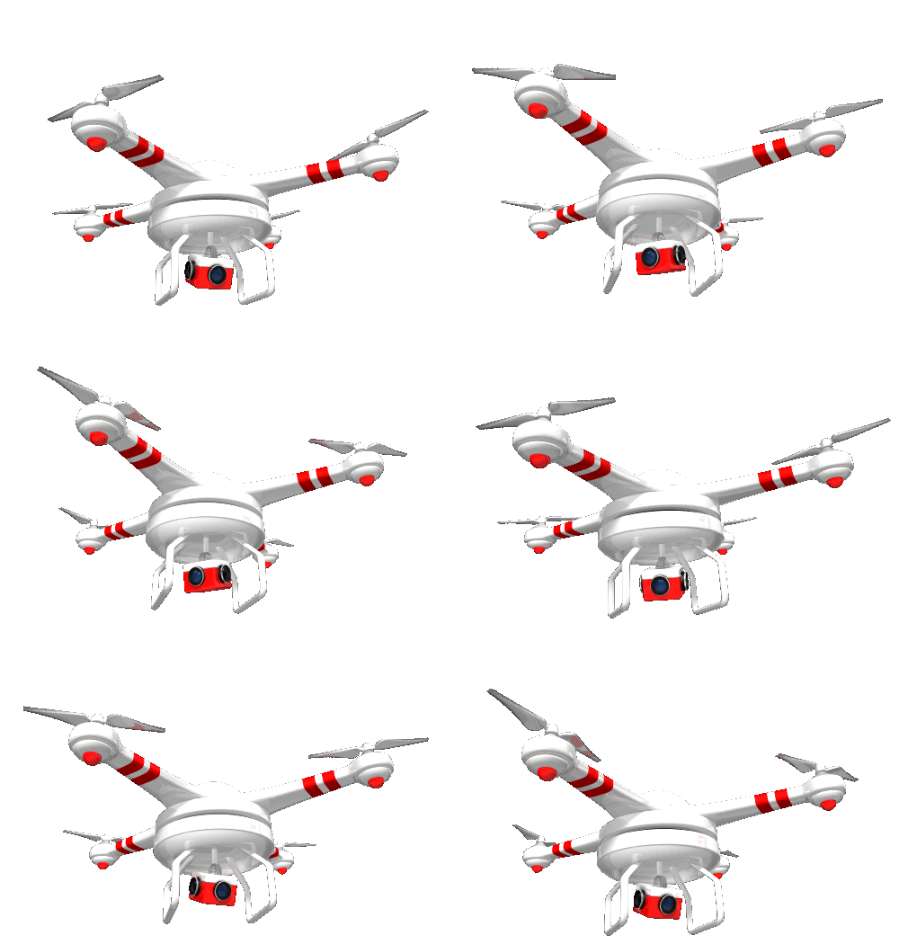
Our Drone-as-a-Service (DaaS) solution offers comprehensive monitoring and surveillance services, eliminating the need for any upfront equipment investment on your part. We take care of everything—from flight operations to data processing, delivering high-precision results while minimizing capital expenditure for your business.
EXPLORE OUR SERVICES
Applications
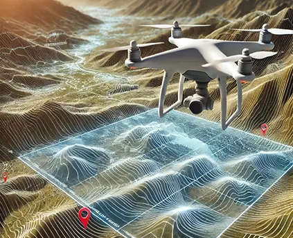
DEM / DTM /DSM
Digital Terrain Modeling is collection of mass points of elevations and 3D break lines at each change of terrain. DTM is a DEM in which terrain data has been enhanced with break lines, creating accuracy as it contains additional information defining terrain in areas where Lidar data alone is unable to do the job effectively.
Learn more

3D Topographical Map
3D Planimetric/Topographic mapping mainly represents the earth surface features in 3D manner using Contour Line, Point/Symbol and Polygon/region data. With this 3D Vector data user can make different analysis and decisions based on their specific need and applications.
Learn more
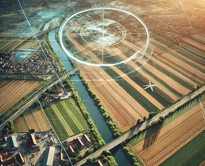
Orthophoto
Digital Orthophoto is a raster image generated by differentially rectifying aerial photographs or satellite images to compensate for distortions due to the altitude of the aircraft and the relief of the terrain. Digital Ortho photos combine the image characteristics of a photograph with geometric qualities of a map.
Learn more
Have Any Questions?
+91-7531007100
Send Us mail
MatrixGEO offers a range of Technology services for all firms all over the industry
Optimize your monitoring and surveillance operations with our DaaS offering, ensuring precision and efficiency without the overhead of equipment, software, or training costs.

Real-Time Aerial Intelligence for Enhanced Security & Efficiency
At Matrix Geo, we harness advanced drone technology, AI-driven analytics, and real-time aerial surveillance to provide unparalleled monitoring solutions across multiple industries. Our drone-based surveillance ensures 24/7 situational awareness, rapid response, and data-driven decision-making for construction progress monitoring, infrastructure security, environmental monitoring, and industrial operations.
Our company leverages advanced drone technology to provide geo-referenced video solutions for progress monitoring and surveillance. These drone-based geo videos offer high-resolution, real-time visuals with precise geospatial data, enabling clients to track project development, identify potential issues, and ensure compliance with safety standards.
For progress monitoring, the geo videos deliver detailed, time-stamped visual documentation of various projects including construction, infrastructure, and engineering, helping stakeholders evaluate milestones and make informed decisions. In surveillance, drones capture hard-to-reach areas such as industrial structures, bridges, and utilities with unparalleled accuracy, ensuring through assessments.
By providing drone-captured geo videos with analytics platforms, we empower clients with actionable insights, enabling efficient project management and enhanced operational safety.


Advanced Features & Capabilities
Why Choose Drone-Based Monitoring?
Our Monitoring & Surveillance Solutions
Project Progress Monitoring
Our Drone Geovideo-based Project Progress Monitoring empowers clients to track project development in real-time from any location. With high-resolution imagery and detailed video footage, clients can access up-to-date project insights directly through their dashboard.
Periodic Patrolling of Assets/Remote Areas/POIs
Drone-based patrolling of facilities such as buildings, oil and gas assets, and remote areas provides superior results compared to manual monitoring. Our solution is cost-effective, time-efficient, and reduces the need for intensive labor, enabling regular assessments of asset conditions.
Aerial Surveillance
Aerial surveillance with drones offers significant cost savings over traditional methods. Equipped with advanced imaging technologies such as high-resolution cameras, infrared sensors, and motion detection, We provide precise and detailed surveillance of terrain, infrastructure, and even small objects, enabling remote monitoring with enhanced accuracy.
Encroachment Detection
Drones are invaluable in monitoring illegal constructions and encroachments. By conducting aerial surveys and analyzing collected data, we provide the extent of illegal construction, providing more reliable results than traditional manual visits.
Search and Rescue Operations
Search and Rescue (SAR)
missions can be challenging and unpredictable. We provide services using Drones, offering support by reducing risks to human rescuers and enabling rapid aerial assistance, even in adverse weather conditions, saving lives when every second counts.
Disaster Management
In the aftermath of natural disasters, we provide services to monitor the extent and impact of disaster quickly and also help in relief and day and night rescue missions using drones in areas that are otherwise inaccessible.
Crowd Management
With India’s growing population, crowd management is crucial in public spaces. Drones equipped with cameras and speakers help manage crowds by providing early warnings and facilitating communication, ensuring smoother crowd control in busy or large-scale events.
We are proudly operating on
Countries Globally Now
14
1
M+
Land Mapped (hectare)
1
K+
Professionals Trained
1
+
Clients & Partners
80
K+
Projects Delivered

