
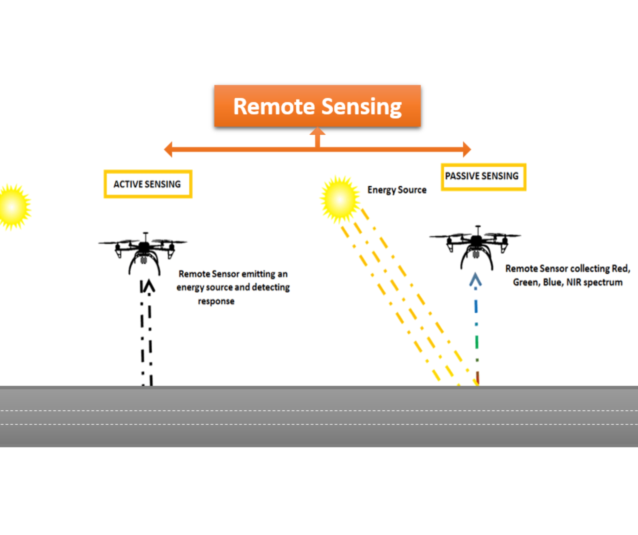
Drone Based Remote Sensing

")


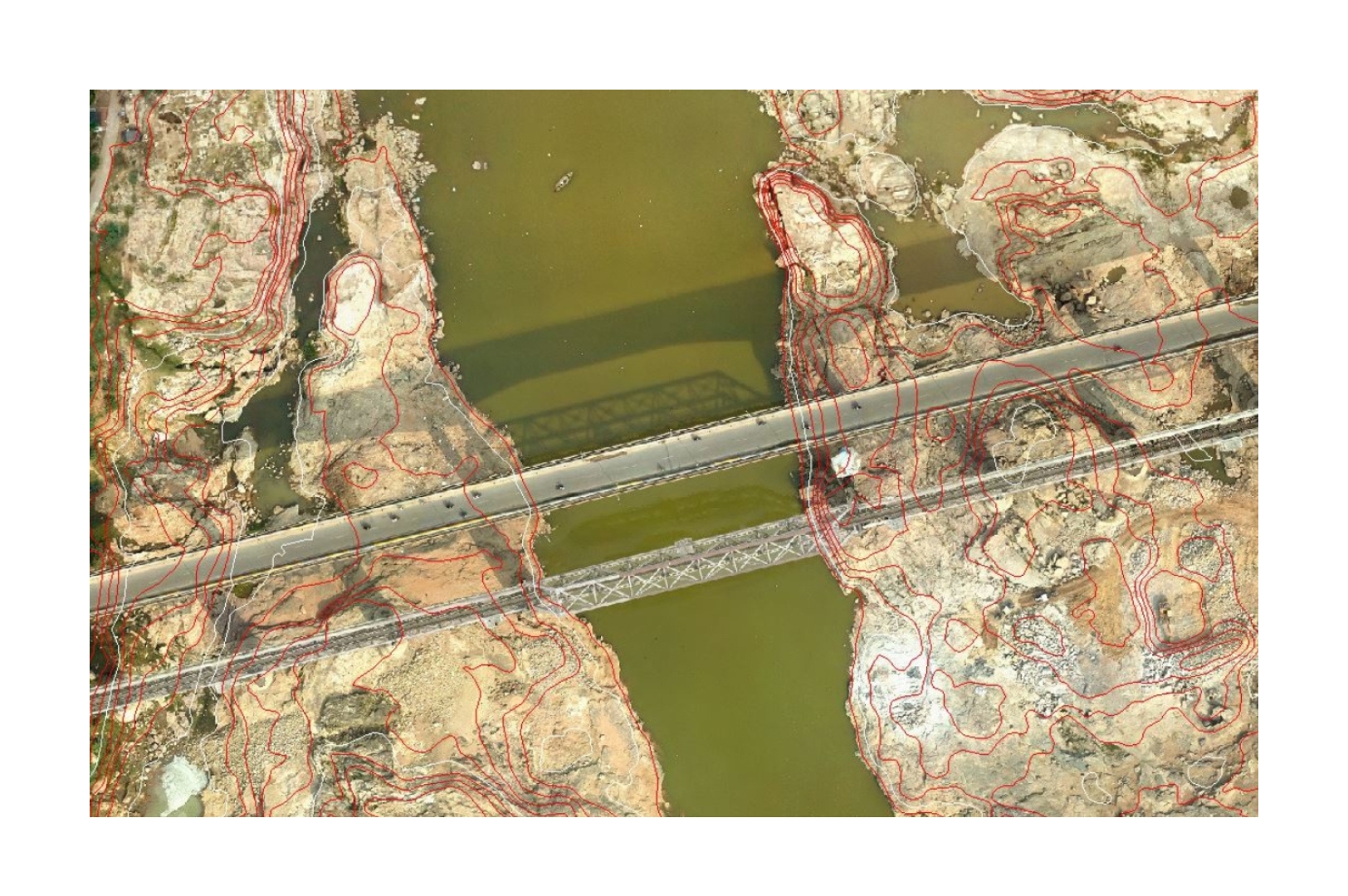
Aerial LiDAR Topographic Survey
Magnetic sensors on drones detect subsurface anomalies for mapping, exploration & planning.
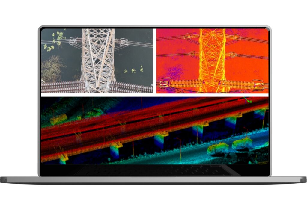
Powerline & Utility Monitoring & Inspection
Aerial inspections detect powerline risks like vegetation, misalignments & structural defects.

Agriculture & Plantation Survey
NDVI & multispectral surveys boost crop health, irrigation efficiency & yield in precision farming.
Magnetic Sensor Drones for Subsurface Exploration
Magnetic surveys detect underground anomalies for minerals, pipelines, UXOs & archaeology mapping.

Maha Kumbh Event Planning
Drone-based pre- and post-monsoon surveys for Maha Kumbh planning with UP Government. Download Pdf

Char Dham Railway Connectivity
Integrated satellite and DGPS-enabled drones for Himalayan terrain with RVNL. Download Pdf
Drone LiDAR Survey for Adani
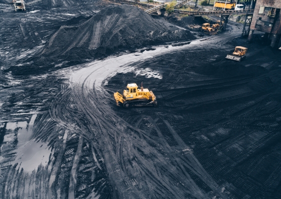
Drone based LIDAR survey for Gondakhari Coal Block Maharastra Download Pdf