Insighter to Details Without Investment
Drone-as-a-Service (DaaS) Inspection
We help to transform your asset inspection workflows with our turnkey drone inspection service. We provide certified DGCA pilots, advanced sensor payloads, and AI-powered analytics to deliver comprehensive inspection data – eliminating your need for capital equipment investments while ensuring regulatory compliance and operational safety.
Applications
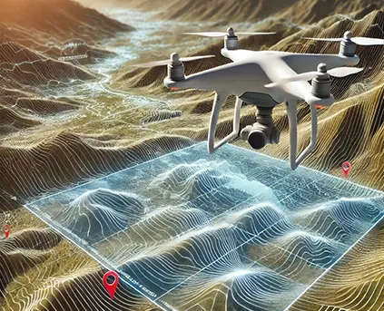
DEM / DTM /DSM
Learn more

3D Topographical Map
Learn more
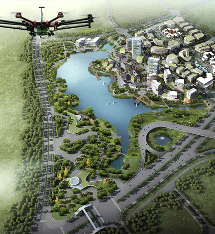
Orthophoto
Learn more

Send Us mail
Revolutionizing Infrastructure Inspections with Aerial Precision
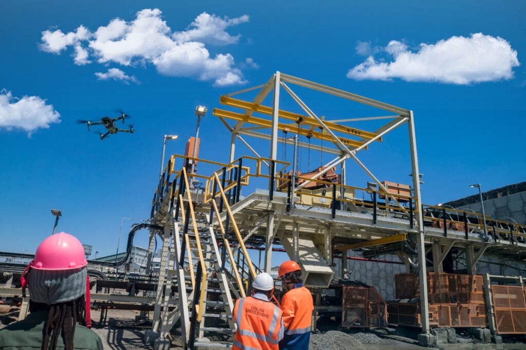
At Matrix Geo, we provide high-precision drone-based inspection services, enabling safer, faster, and more cost-effective assessments of critical infrastructure. Our drones, thermal imaging, and LiDAR technology deliver real-time insights, helping industries optimize maintenance, detect anomalies, and prevent failures before they escalate.
Why Choose Drone-Based Inspections?
Data Deliverables & Insights
Our Drone Inspection Solutions
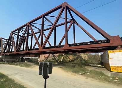
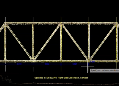
1. Bridge & Structural Inspection
2. Powerline & Utility Inspection
Monitor transmission lines, substations, and renewable energy farms with thermal imaging and LiDAR mapping to detect faults, vegetation encroachment, and overheating.

