


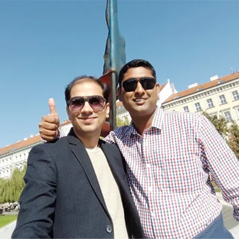


Rahul Jain
Founder & Managing Director
Leads Matrix Geo Solutions with 27 years of expertise in drone, LiDAR, space tech, and geospatial solutions, with excellence in finance and operations management.


")
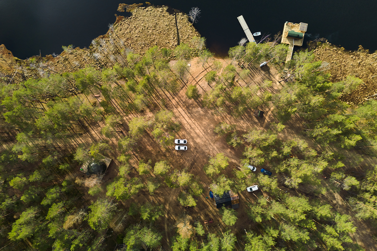
Our Mission
To work globally and help our clients adopt modern survey technology, enabling them to plan projects across various sectors more efficiently and accurately.

Our Essence
Matrix Geo thrives on innovation, continuous learning, quality output, and customer satisfaction.

Our Promise
To empower our clients with the latest geospatial technologies, delivering reliable information quickly for smarter decision-making.

Our Vibe
At Matrix Geo, we dream together, innovate, and work hard every day to provide excellent service to our clients.
