")


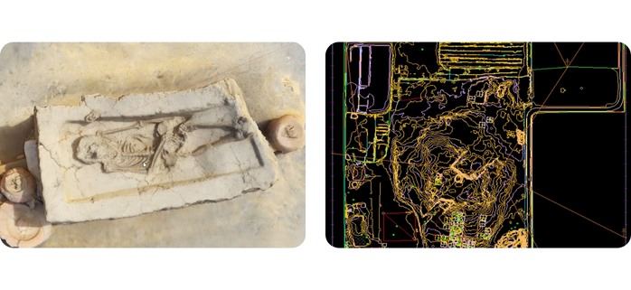
Sinoli Excavation – Drone Survey & 3D Modeling
Used drone surveys to create a 3D model of a 4,000-year-old fossil at Sinoli.
Download PDF

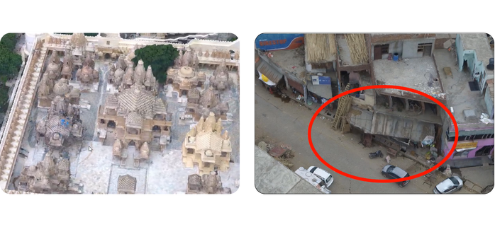
Palitana Hills – 3D Mapping of Jain Temples
Drone survey and 3D modeling of Jain temples for conservation and documentation.
Download PDF

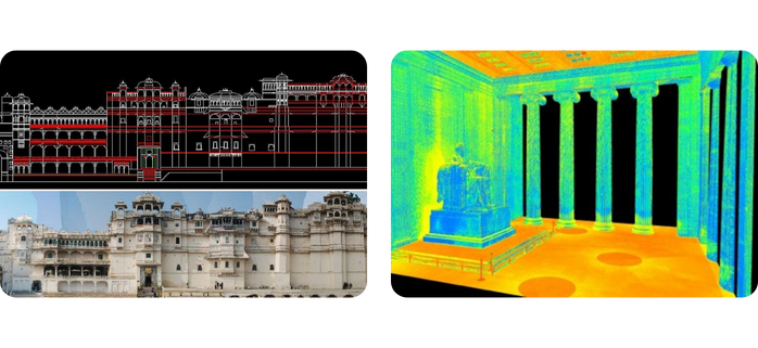
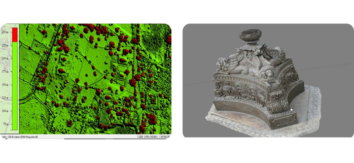
Khajuraho Monuments – Survey for AMASR Compliance
Conducted photogrammetric survey to support ASI in protecting Khajuraho’s monuments under the AMASR Act.
Download PDF

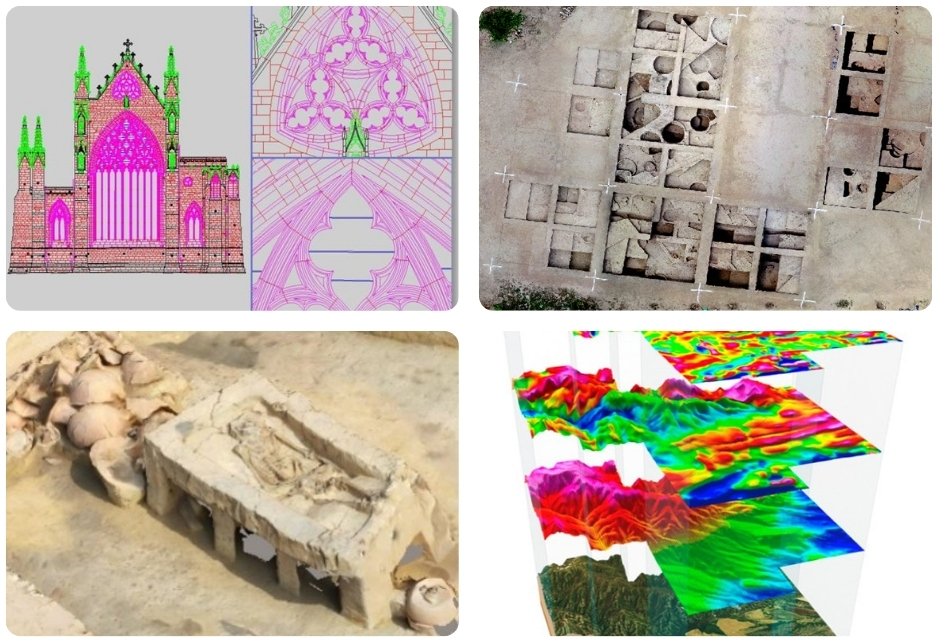
Rakhigarhi Site – Drone Survey for Excavation
Used drone surveys and 3D modeling to support excavations at one of the largest Indus Valley sites.
Download PDF

Sanghol Stupa – Drone Survey for Conservation
Carried out drone-based survey to support conservation of the historic Buddhist Stupa in Punjab.
Download PDF