Archaeology
Matrix
MATRIX GEO SOLUTIONS LIMITED
Smart Surveying Technology for Discovering and Protecting Historical Sites
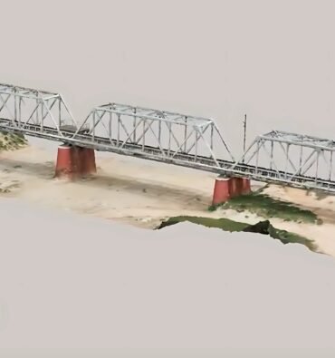
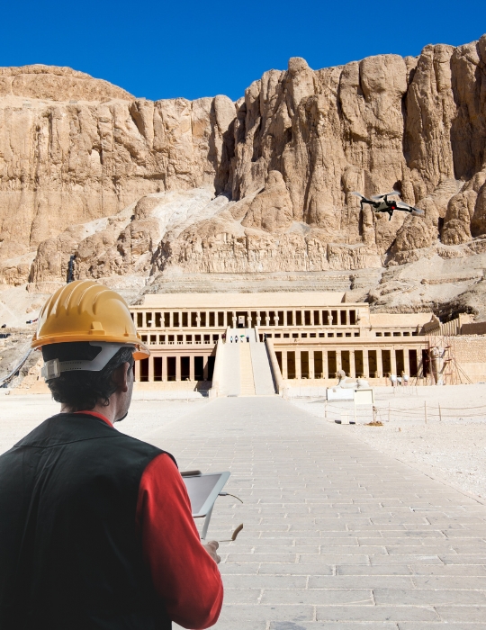
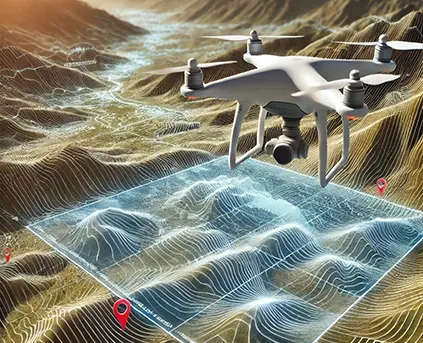
Matrix Geo empowers archaeological research and heritage conservation through advanced drone, LiDAR, and photogrammetry solutions. From site discovery to structural analysis and preservation planning, our technology enables high-precision mapping, underground surveys, and 3D reconstructions of historical assets. By combining deep expertise with cutting-edge tools, we help uncover hidden heritage, support scientific excavation, and ensure accurate documentation for future generations.
Technology
Integrating advanced technology across sectors to deliver precision, efficiency, and real-time insights.
Remote Sensing Services
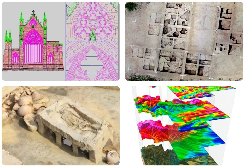
Services in Various Applications in Archaeology & Heritage Management
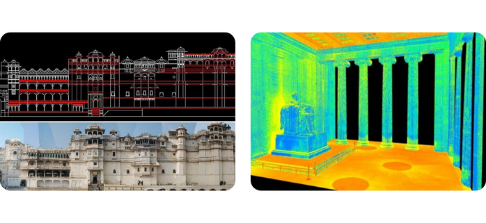
Research & Exploration
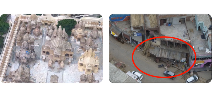
Protection, Conservation & Preservation
EXPLORE OUR PROJECT
Project Highlights
Sinoli Excavation – Drone Survey & 3D Modeling
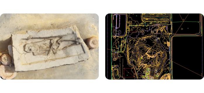
Used drone surveys to create a 3D model of a 4,000-year-old fossil at Sinoli.
Download PDF
Palitana Hills – 3D Mapping of Jain Temples
Drone survey and 3D modeling of Jain temples for conservation and documentation.
Download PDF

Khajuraho Monuments – Survey for AMASR Compliance
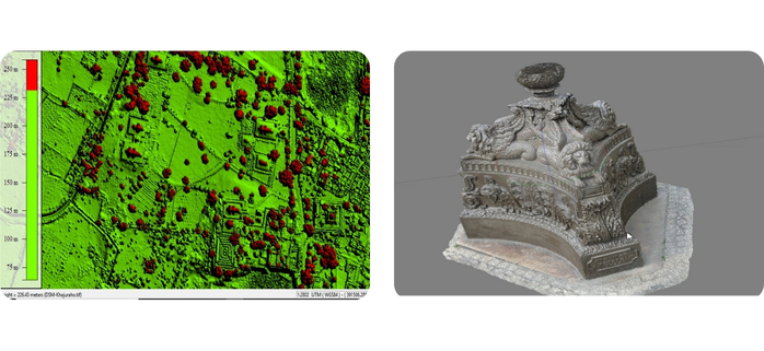
Conducted photogrammetric survey to support ASI in protecting Khajuraho’s monuments under the AMASR Act.
Download PDF

Rakhigarhi Site – Drone Survey for Excavation
Used drone surveys and 3D modeling to support excavations at one of the largest Indus Valley sites.
Download PDF

Sanghol Stupa – Drone Survey for Conservation
Carried out drone-based survey to support conservation of the historic Buddhist Stupa in Punjab.
Download PDF

Have a project in mind?
Let’s talk to us


