Drone Based Aerial Survey
- Home 01
- Drone Based Aerial Survey
DaaS - SURVEY & MAPPING
Your Hassle-Free Solution Includes
Certified Pilots
Smart Sensors
Pro Processing
Ready Outputs
High-Precision Geospatial Data for Smarter Decision-Making
At Matrix Geo, we leverage advanced drone technology, LiDAR, and high-resolution imaging to provide fast, accurate, and cost-effective aerial surveys. Our expertise spans multiple industries, including railways, highways, mining, urban planning, and environmental monitoring, delivering actionable insights for infrastructure development and asset management.
Cutting-Edge Drone Technology for Your Projects
We offer advanced drone solutions tailored to diverse project needs, ensuring precision, efficiency, and scalability.
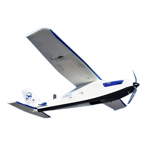
Training Drone
Fixed-Wing Drones
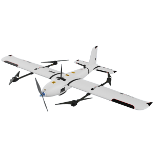
Hybrid eVTOL Drones
Multirotor Drones
Data Capture Sensors
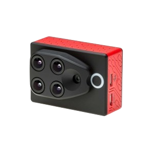
High-resolution, calibrated RGB cameras ensure superior mapping accuracy and detailed data collection.
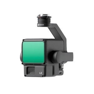
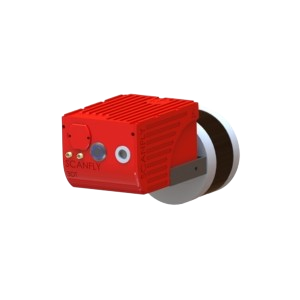
LiDAR sensor
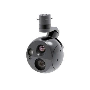
Thermal sensor
Multispectral sensor
3DT LiDar
Why Choose Drone Surveys?
Data Collection
Reduce Manpower
High-resolution
High Safety
Outputs – Aesthetic Maps to Authentic Maps
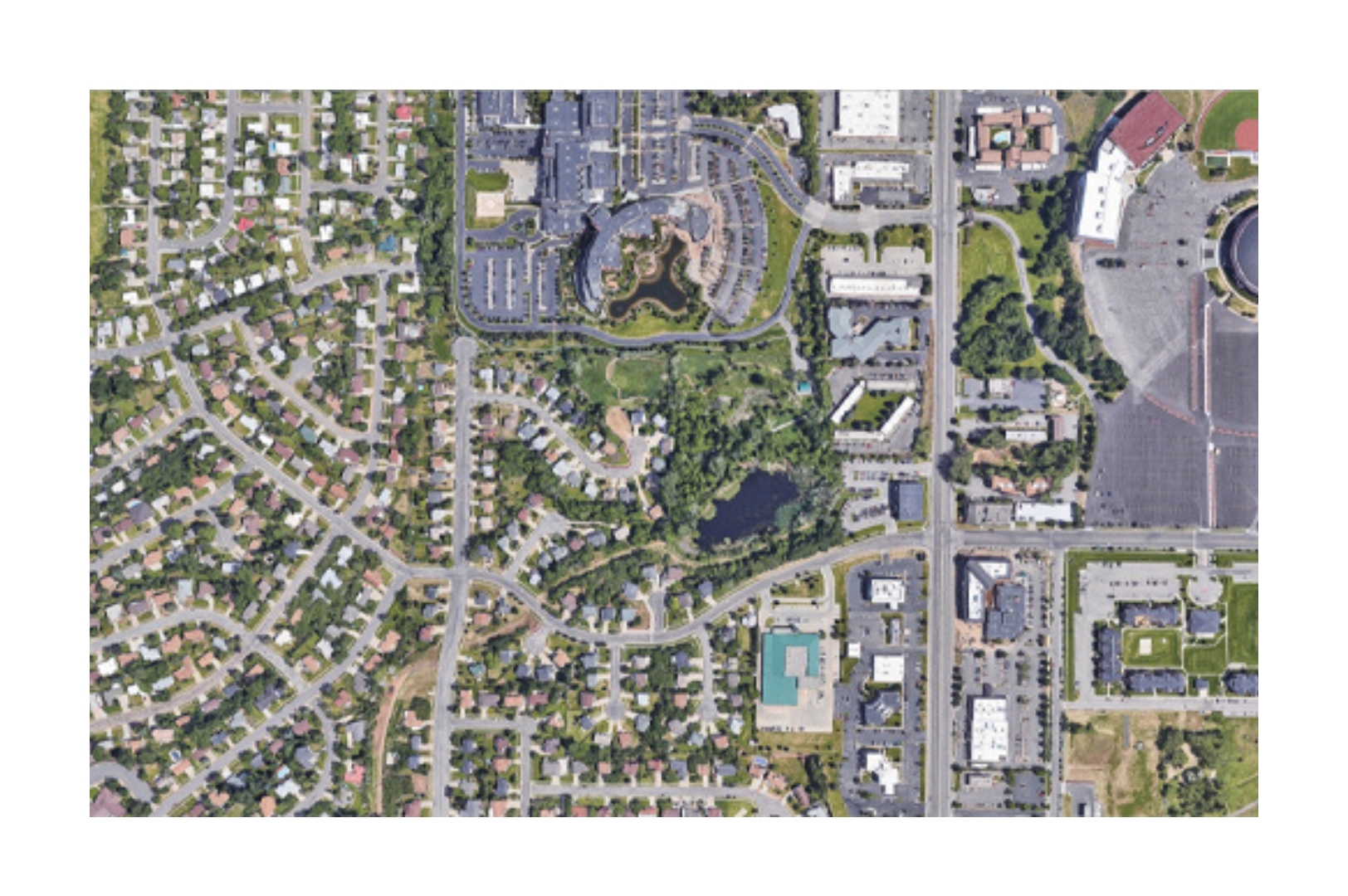
Orthophoto
Ultra-high-res orthophotos (1–10 cm) offer precise ground insights for planning and analysis.
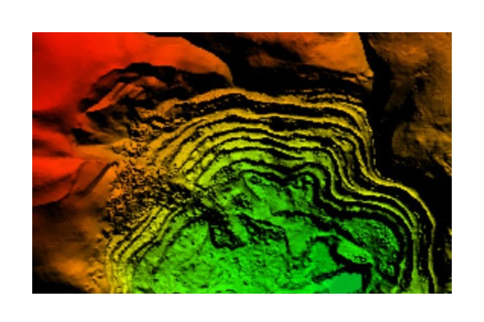
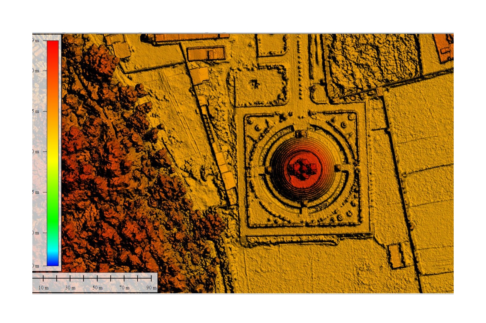
Digital Terrain Model (DTM)
3D bare-earth models from drones/LiDAR offer cm-level data for volume, slope & terrain analysis.
Digital Surface Model (DSM)
3D surface models with all features aid terrain, utility, and vegetation analysis using drones/LiDAR.
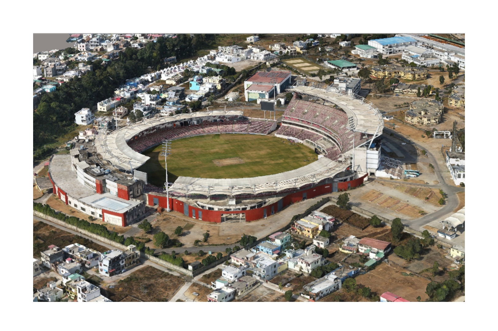
3D Reality Model
Digital twins from drone images offer accurate 3D views for planning in real estate & construction.
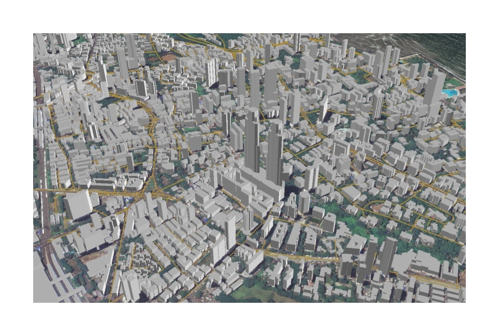
Precise 3D Maps
Drone-based 3D maps deliver CAD-accurate data for infra, construction, and terrain analysis.
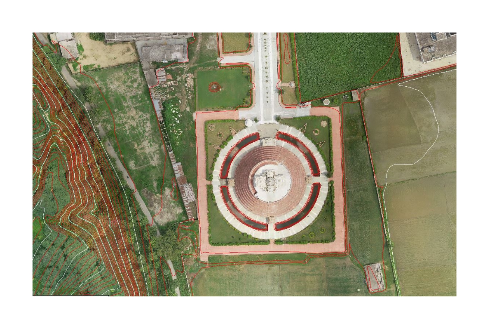
Contours
Drone-based contour maps show elevation & slope for precise planning in infra, agri & land use.
Case Studies
Our case studies demonstrate the power of Geo-Spatial technology in real-world projects, from Maha Kumbh planning and Char Dham railways to Bharatmala highways, Adani’s LiDAR survey, Ken-Betwa water management, and more.
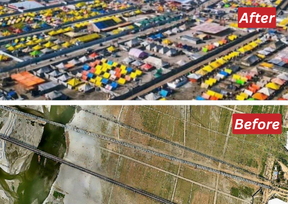
Maha Kumbh Event Planning
Drone-based pre- and post-monsoon surveys for Maha Kumbh planning with UP Government. Download Pdf

Char Dham Railway Connectivity
Integrated satellite and DGPS-enabled drones for Himalayan terrain with RVNL. Download Pdf

Drone LiDAR Survey for Adani
Drone based LIDAR survey for Gondakhari Coal Block Maharastra Download Pdf
Where we use this Technology
Infrastructure planning to surveillance and safety, our technology enhances efficiency, supports smart decisions, and drives innovation across the rail network.
Let us help you get your project started.
Oritech – IT Solutions & Services WordPress Theme is a modern theme, designed for companies providing IT services and technology solutions. With a professional interface, powerful features, WooCommerce integration, and SEO optimization, Oritech helps businesses build impressive and easily customizable websites.
Contact:

