")


Have Any Questions?
+91-7531007100


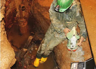
Sinoli Excavation Site – Drone Survey & 3D Fossil Reconstruction
Conducted a high-precision drone-based topographical survey of the Sinoli excavation site, creating a detailed 3D model of a 4,000-year-old human fossil.
Download PDF

Palitana Hills, Gujarat – Jain Temples 3D Mapping
Performed an extensive drone-based aerial survey and 3D modeling of Jain temples in Palitana Hills to support conservation and heritage documentation.
Download PDF

Khajuraho Monuments – Heritage Protection Under AMASR Act
Carried out a photogrammetric survey of Khajuraho’s centrally protected monuments for the Archaeological Survey of India, aiding in the enforcement of the AMASR Act.
Download PDF

Rakhigarhi Archaeological Site – Drone Survey for Excavation
Utilized drone-based aerial surveys and 3D modeling to assist scientific excavations at Rakhigarhi, one of the largest Indus Valley Civilization sites.
Download PDF

Sanghol Buddhist Stupa, Punjab – Drone Survey for Conservation
Conducted a detailed drone-based survey of the ancient Buddhist Stupa in Sanghol, Fatehgarh Sahib, Punjab, aiding in its protection and conservation efforts.
Download PDF