")


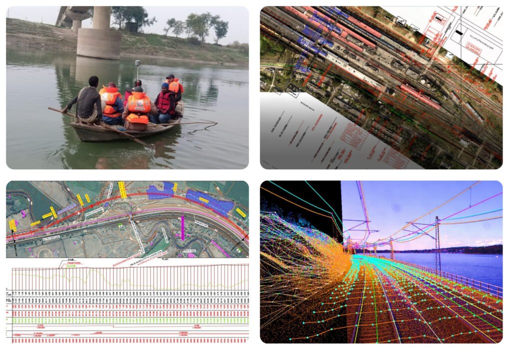

World’s Highest Railway Bridge Monitoring
Near Real-time progress tracking with KRCL for faster & Safer construction.
Download PDF

Bullet Train Planning
Satellite photogrammetry for India’s first high-speed rail corridor with RITES.
Download PDF

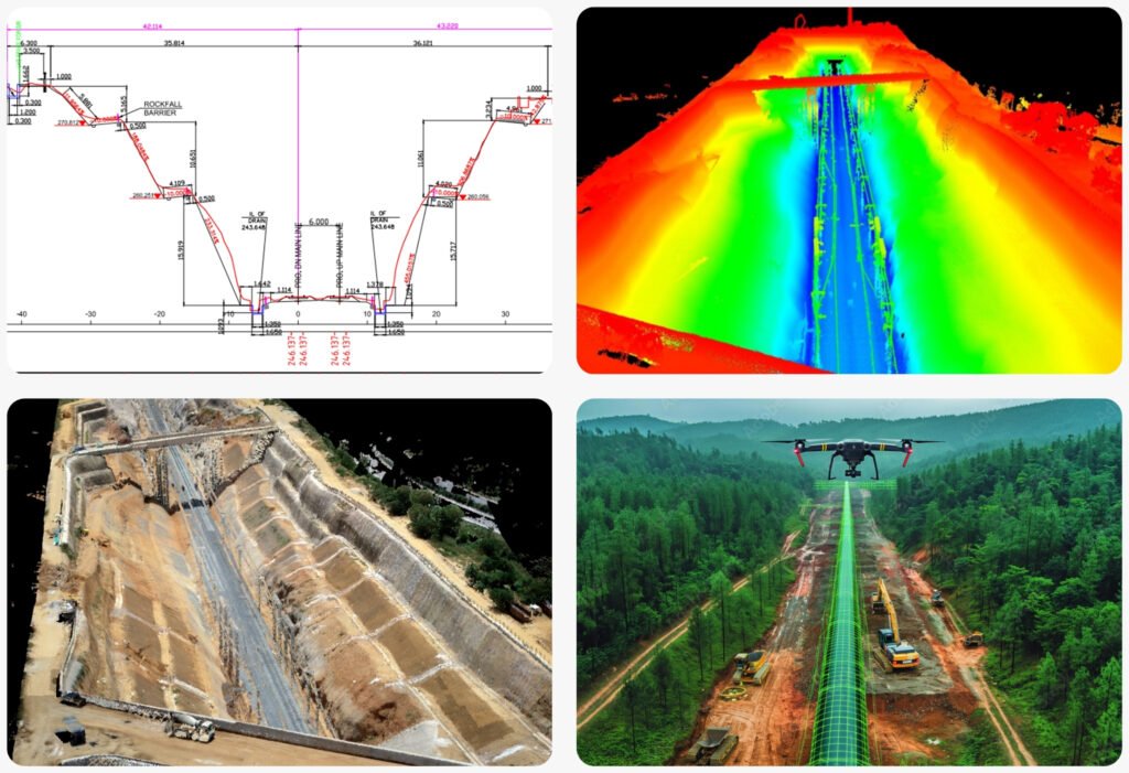
Char Dham Railway Connectivity
Integrated satellite & drone technology for extreme Himalayan terrain with RVNL.
Download PDF
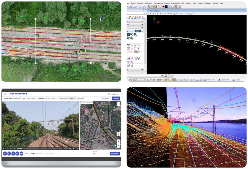
Railway Bridge Inspections
Drone and LiDAR-based assessments for safer travel in Northern Railways.
Download PDF

Gradient Mapping for KAVACH
LiDAR technology implementation for North Eastern Railway’s collision avoidance system.
Download PDF
Railway Electrification Surveys
Drone technology for faster implementation across Indian Railways.
Download PDF
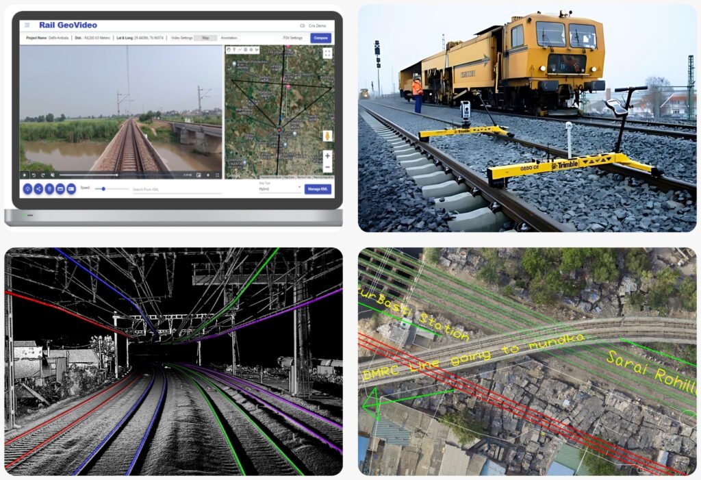
Geo-Video-Based Route Inspection
Loco-mounted advanced geo-video based assessments on the Kalka-Shimla Heritage Route.
Download PDF