Precision Land & Asset Mapping for Infrastructure & Development
Ground-Based Surveys
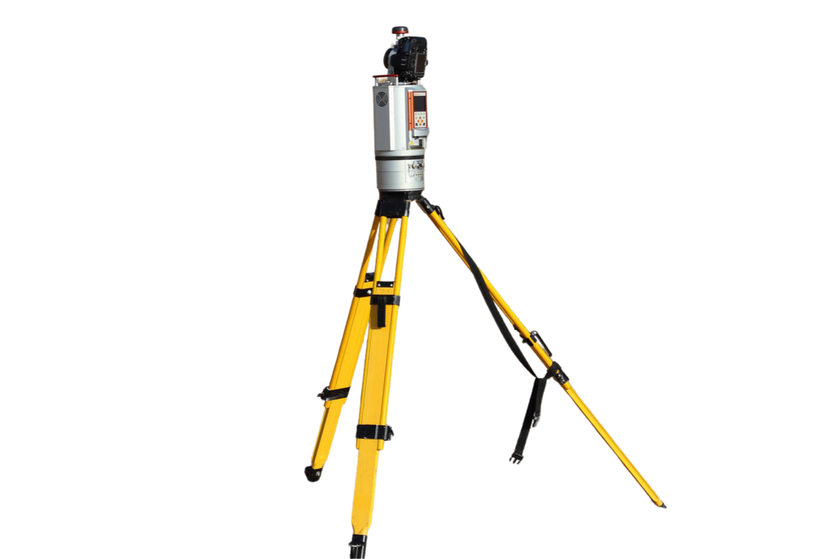
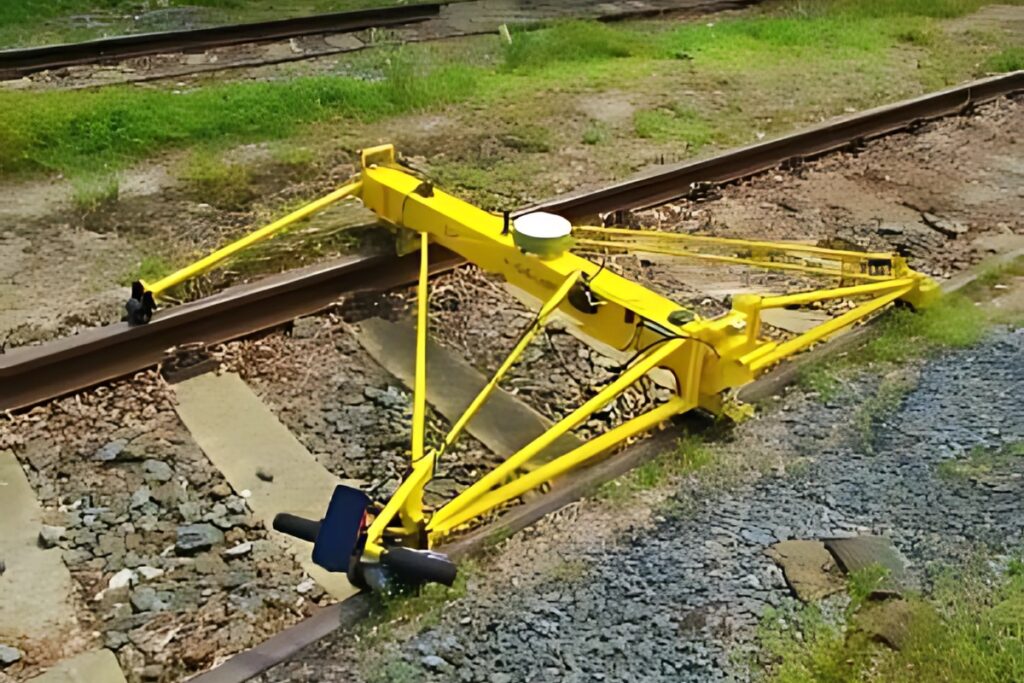
At Matrix Geo Solutions, we specialize in high-accuracy ground-based surveys for geometrical and attribution data collection to enhance mapping and infrastructure planning. Our team utilizes cutting-edge equipment to ensure precise geometrical measurements and captures valuable attribution data such as addresses, ownership details, and utility information for comprehensive and enriched mapping solutions..
Oritech – IT Solutions & Services WordPress Theme is a modern theme, designed for companies providing IT services and technology solutions. With a professional interface, powerful features, WooCommerce integration, and SEO optimization, Oritech helps businesses build impressive and easily customizable websites.