Cities & Rural
Matrix
MATRIX GEO SOLUTIONS LIMITED
Advanced Drone Solutions for Smarter Urban & Rural Areas
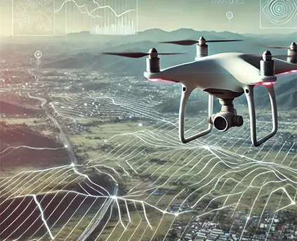
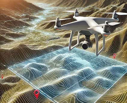
Matrix Geo leverages advanced geospatial and digital technologies to support both urban and rural development. From smart city planning to rural infrastructure, our data-driven solutions empower efficient planning, real-time monitoring, and targeted service delivery. By optimizing resources and enabling informed decisions, we help drive innovation, sustainability, and inclusive growth across diverse environments.
Technology
Integrating advanced technology across sectors to deliver precision, efficiency, and real-time insights.
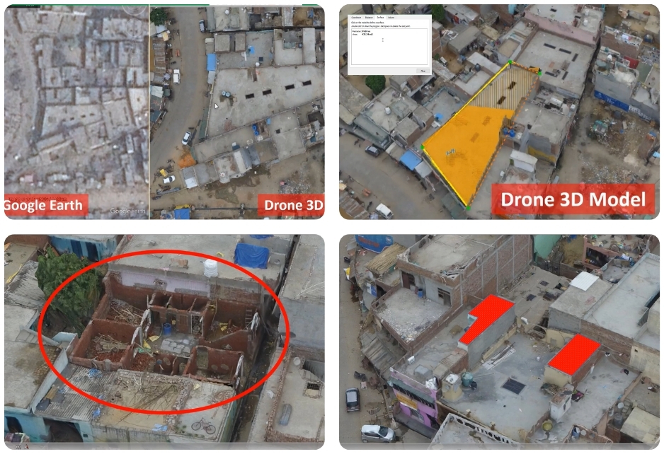
Urban Solutions for Smart Cities
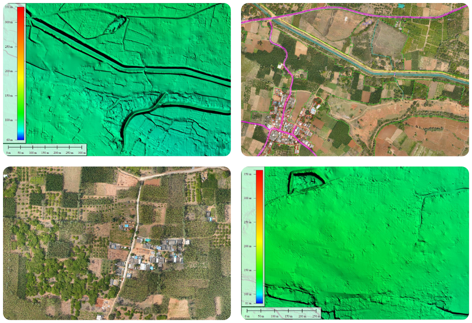
Rural Development Solutions
EXPLORE OUR PROJECT
Project Highlights
100,000+ Ha & 1,500+ Villages Surveyed
Drone-based mapping for the Swamitva Scheme across Uttar Pradesh, Gujarat, and Delhi.
Download PDF
150,000 Ha Rural Mapping Initiative
Extensive drone-based land survey for Andhra Pradesh SSLR.
Download PDF

80,000+ Ha Urban Mapping
AMRUT 2.0 project covering Jabalpur (MP), Raipur (Chhattisgarh), and various cities in Uttar Pradesh.
Download PDF
Have a project in mind?
Let’s talk to us


